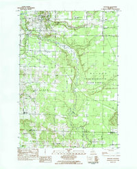
1983 Map of Benzonia
USGS Topo · Published 1984About this map
Betsie River meanders through the heart of this landscape, carving a valley that separates the northern settlements from the southern townships of Joyfield and Pleasanton. The 1983 environment shows a well-established network of rural section roads, including Ballard Road and Zimmerman Road, which serve a mix of forest and agricultural lands. Benzonia stands as a primary focal point in the northwest, while the southeastern corner is dominated by the dense canopy of the Pere Marquette State Forest.
Find a feature on this map
37 named features on this map. Tap any name to fly to it.
Don’t see what you’re looking for? This feature index may not catch every label — zoom into the map to look around manually.
Map Details
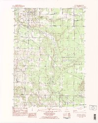
Editions of this 1983 Benzonia Map
2 editions found
Other maps of this area

1954 · Traverse City
USGS Topo · 1:250,000

1954 · Manitowoc
USGS Topo · 1:250,000

1956 · Onekama
USGS Topo · 1:62,500

1956 · Thompsonville
USGS Topo · 1:62,500

1956 · Frankfort
USGS Topo · 1:62,500

1957 · Copemish
USGS Topo · 1:62,500

1958 · Traverse City
USGS Topo · 1:250,000

1958 · Manitowoc
USGS Topo · 1:250,000

1976 · Frankfort SE
USGS Topo · 1:24,000

1976 · Frankfort NW
USGS Topo · 1:24,000