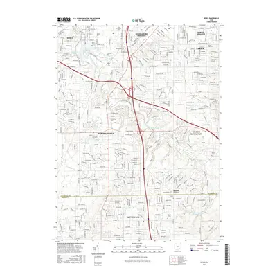
2016 Map of Berea
USGS Topo · Published 2016About this map
Berea and Strongsville anchor this 2016 survey of the southwestern Cleveland suburbs, where the East Branch Rocky River carves through a landscape of established neighborhoods and expanding suburban corridors. The map highlights the sprawling campus of Baldwin-Wallace Univ and the adjacent waters of Coe Lake and Baldwin Lake. This modern record illustrates the heavy concentration of local history preserved in its cemeteries, including Woodvale Cem and the German Lutheran Cem.
Find a feature on this map
276 named features on this map. Tap any name to fly to it.
Don’t see what you’re looking for? This feature index may not catch every label — zoom into the map to look around manually.
Map Details
Editions of this 2016 Berea Map
This is the sole edition of this map. No revisions or reprints were ever made.
Other maps of this area

1902 · Berea
USGS Topo · 1:62,500

1903 · Cleveland
USGS Topo · 1:62,500

1903 · Akron
USGS Topo · 1:62,500

1904 · Berea
USGS Topo · 1:62,500

1904 · Medina
USGS Topo · 1:62,500

1905 · Akron
USGS Topo · 1:62,500

1906 · Medina
USGS Topo · 1:62,500

1950 · Cleveland
USGS Topo · 1:250,000

1953 · West View
USGS Topo · 1:24,000

1953 · Broadview Heights
USGS Topo · 1:24,000