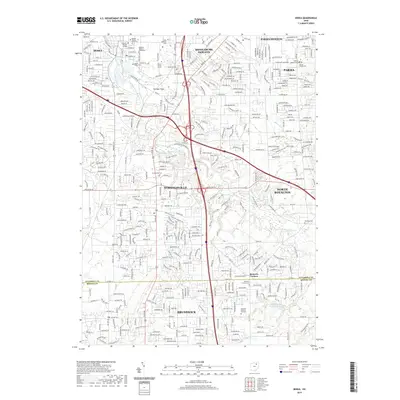
2019 Map of Berea
USGS Topo · Published 2019About this map
Baldwin Wallace University and its predecessor, Baldwin-Wallace College, anchor the northern reaches of this detailed suburban landscape. The corridor following the East Branch Rocky River defines the local topography, connecting Berea, Strongsville, and Brunswick across the Cuyahoga and Medina county line. The map highlights a dense network of local history through its numerous burial grounds, including the Woodvale Cem and Eastlawn Memory Gardens.
Find a feature on this map
239 named features on this map. Tap any name to fly to it.
Don’t see what you’re looking for? This feature index may not catch every label — zoom into the map to look around manually.
Map Details
Editions of this 2019 Berea Map
This is the sole edition of this map. No revisions or reprints were ever made.
Other maps of this area

1902 · Berea
USGS Topo · 1:62,500

1903 · Cleveland
USGS Topo · 1:62,500

1903 · Akron
USGS Topo · 1:62,500

1904 · Berea
USGS Topo · 1:62,500

1904 · Medina
USGS Topo · 1:62,500

1905 · Akron
USGS Topo · 1:62,500

1906 · Medina
USGS Topo · 1:62,500

1950 · Cleveland
USGS Topo · 1:250,000

1953 · West View
USGS Topo · 1:24,000

1953 · Broadview Heights
USGS Topo · 1:24,000