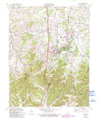
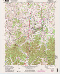
1970 Map of Berea
USGS Topo · Published 1993About this map
Berea College anchors the urban core of this Central Kentucky landscape, situated where the rolling plateau meets the rising knobs of the Cumberland Foothills. The map reveals a transition from the developing town of Berea to the rugged terrain of the south, marked by prominent landmarks like Dead Horse Knob and Boone Gap. Transportation networks define the area's growth, with Interstate 75 and the Louisville and Nashville railroad running parallel through the valley. Small outlying communities like Farristown, Middletown, and Wallaceton maintain their local identities through gathering places such as Middletown Ch and Wallaceton Chapel. The drainage patterns of Silver Creek and Brushy Fork dictate the early settlement locations and road paths, while family-named sites like Johnson Cem provide valuable touchpoints for genealogists tracing the Madison County and Rockcastle County borderlands.
Find a feature on this map
40 named features on this map. Tap any name to fly to it.
Don’t see what you’re looking for? This feature index may not catch every label — zoom into the map to look around manually.
Map Details
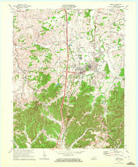
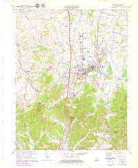
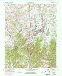
Editions of this 1970 Berea Map
5 editions found
Other maps of this area

1892 · Richmond
USGS Topo · 1:125,000

1893 · London
USGS Topo · 1:125,000

1897 · Richmond
USGS Topo · 1:125,000

1897 · London
USGS Topo · 1:125,000

1952 · Berea
USGS Topo · 1:24,000

1952 · Paint Lick
USGS Topo · 1:24,000

1952 · Kirksville
USGS Topo · 1:24,000

1952 · Bighill
USGS Topo · 1:24,000

1952 · Moberly
USGS Topo · 1:24,000

1953 · Richmond South
USGS Topo · 1:24,000