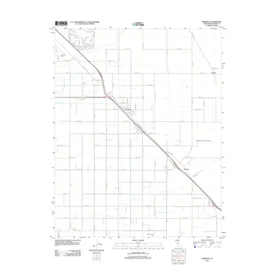
2012 Map of Berenda
USGS Topo · Published 2012About this map
Fairmead and Berenda serve as the primary hubs in this agricultural corridor of Madera County, anchored by the diagonal transit of Golden State Blvd. The landscape is defined by a rigorous grid of avenues and the critical irrigation infrastructure of the Central Valley, including the Califa Canal and numerous distribution channels like Califa Lateral A through Califa Lateral D. This network supports large-scale operations such as the Machado Farms Dairy in the southern portion of the quadrangle.
Find a feature on this map
44 named features on this map. Tap any name to fly to it.
Don’t see what you’re looking for? This feature index may not catch every label — zoom into the map to look around manually.
Map Details
Editions of this 2012 Berenda Map
This is the sole edition of this map. No revisions or reprints were ever made.
Other maps of this area

1916 · Berenda
USGS Topo · 1:31,680

1918 · Chowchilla
USGS Topo · 1:31,680

1918 · Berenda
USGS Topo · 1:31,680

1918 · La Grand
USGS Topo · 1:31,680

1919 · Plainsberg
USGS Topo · 1:31,680

1919 · Raynor Creek
USGS Topo · 1:31,680

1920 · Kismet
USGS Topo · 1:31,680

1920 · Bonita Ranch
USGS Topo · 1:31,680

1921 · Bonita Ranch
USGS Topo · 1:31,680

1922 · Kentucky Well
USGS Topo · 1:31,680