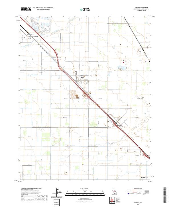
2021 Map of Berenda
USGS Topo · Published 2021About this map
The San Joaquin Valley agricultural landscape is meticulously documented in this 2021 study, centered on the historic rail corridor connecting Chowchilla and Madera. The map reveals a highly structured environment defined by a dense grid of numbered avenues and a complex irrigation network, including the Califa Canal, Dixieland Ditch, and various laterals. These artificial watercourses trace the legacy of early 20th-century land development in the Central Valley, where water rights transformed the arid plains into productive orchards and vineyards.
Find a feature on this map
72 named features on this map. Tap any name to fly to it.
Don’t see what you’re looking for? This feature index may not catch every label — zoom into the map to look around manually.
Map Details
Editions of this 2021 Berenda Map
This is the sole edition of this map. No revisions or reprints were ever made.
Other maps of this area

1916 · Berenda
USGS Topo · 1:31,680

1918 · Chowchilla
USGS Topo · 1:31,680

1918 · Berenda
USGS Topo · 1:31,680

1918 · La Grand
USGS Topo · 1:31,680

1919 · Plainsberg
USGS Topo · 1:31,680

1919 · Raynor Creek
USGS Topo · 1:31,680

1920 · Kismet
USGS Topo · 1:31,680

1920 · Bonita Ranch
USGS Topo · 1:31,680

1921 · Bonita Ranch
USGS Topo · 1:31,680

1922 · Kentucky Well
USGS Topo · 1:31,680