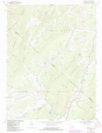
1967 Map of Bergton
USGS Topo · Published 1987About this map
The tiny settlement of Bergton serves as the focal point for this survey of the mountainous border between Virginia and West Virginia. Located near the confluence of the German River and Capon Run, the town is documented with its local infrastructure including the Bergton Sch, Martin Luther Ch, and the Bergton Gospel Center. The landscape is dominated by the ridges of Lost River Mountain and Flattop Mountain, much of which is contained within the George Washington National Forest.
Find a feature on this map
58 named features on this map. Tap any name to fly to it.
Don’t see what you’re looking for? This feature index may not catch every label — zoom into the map to look around manually.
Map Details
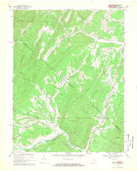
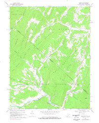
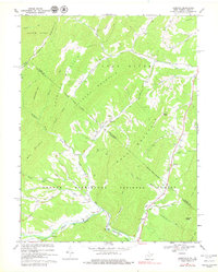
Editions of this 1967 Bergton Map
4 editions found
Other maps of this area

1892 · Franklin
USGS Topo · 1:125,000

1892 · Woodstock
USGS Topo · 1:125,000

1896 · Franklin
USGS Topo · 1:125,000

1920 · Petersburg
USGS Topo · 1:48,000

1921 · Orkney Springs
USGS Topo · 1:48,000

1921 · Petersburg
USGS Topo · 1:48,000

1922 · Fort Seybert
USGS Topo · 1:48,000

1922 · Petersburg
USGS Topo · 1:62,500

1923 · Orkney Springs
USGS Topo · 1:62,500

1924 · Fort Seybert
USGS Topo · 1:62,500