
1948 Map of Bering Glacier A-4
USGS Topo · Published 1964About this map
Cape Yakataga serves as the focal point for this coastal survey of the Gulf of Alaska shoreline, where the landscape is defined by the massive movement of ice and water. The area's limited human footprint is concentrated near the Yakataga Airport and the settlement of Yakataga, which sits isolated between the surf and the braided distributaries of the North Channel Yakataga River and South Channel Yakataga River.
Find a feature on this map
30 named features on this map. Tap any name to fly to it.
Don’t see what you’re looking for? This feature index may not catch every label — zoom into the map to look around manually.
Map Details
Editions of this 1948 Bering Glacier A-4 Map
This is the sole edition of this map. No revisions or reprints were ever made.
Other maps of this area

1950 · Bering Glacier A-3
USGS Topo · 1:63,360

1950 · Bering Glacier
USGS Topo · 1:250,000

1950 · Icy Bay
USGS Topo · 1:250,000

1951 · Icy Bay
USGS Topo · 1:250,000

1951 · Bering Glacier
USGS Topo · 1:250,000
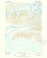
1951 · Bering Glacier A-4
USGS Topo · 1:63,360

1959 · Bering Glacier
USGS Topo · 1:250,000
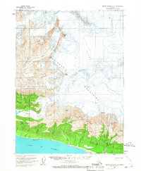
1959 · Bering Glacier A-3
USGS Topo · 1:63,360
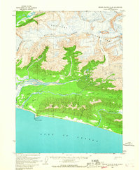
1959 · Bering Glacier A-4
USGS Topo · 1:63,360

1961 · Icy Bay
USGS Topo · 1:250,000