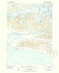
1951 Map of Bering Glacier A-4
USGS Topo · Published 1951About this map
Watson Glacier and Yakataga Glacier dominate this mid-century Alaskan landscape, feeding into a complex braided river system as they descend toward the coast. The North Channel and South Channel Yakataga River carve through the glacial outwash plain, illustrating the dynamic hydrology of the region before reaching the Gulf of Alaska.
Find a feature on this map
32 named features on this map. Tap any name to fly to it.
Don’t see what you’re looking for? This feature index may not catch every label — zoom into the map to look around manually.
Map Details
Editions of this 1951 Bering Glacier A-4 Map
2 editions found
Other maps of this area

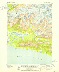
1948 · Bering Glacier A-4
USGS Topo · 1:63,360

1950 · Bering Glacier A-3
USGS Topo · 1:63,360

1950 · Bering Glacier
USGS Topo · 1:250,000

1950 · Icy Bay
USGS Topo · 1:250,000

1951 · Icy Bay
USGS Topo · 1:250,000

1951 · Bering Glacier
USGS Topo · 1:250,000

1959 · Bering Glacier
USGS Topo · 1:250,000
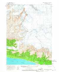
1959 · Bering Glacier A-3
USGS Topo · 1:63,360
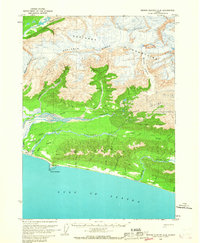
1959 · Bering Glacier A-4
USGS Topo · 1:63,360

1961 · Icy Bay
USGS Topo · 1:250,000