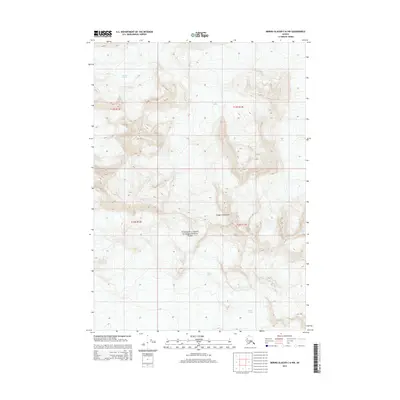
2014 Map of Bering Glacier C-6 NW
USGS Topo · Published 2014About this map
Wrangell-Saint Elias National Park encompasses this high-altitude landscape in the Unorganized Borough, where massive ice fields and the Chugach Mountains dominate the environment. The map details a convergence of significant glaciers, including the sprawling Steller Glacier and the Bremner Glacier, which carve through the peaks at elevations reaching over 7,000 feet. The contour patterns reveal the intense glacial topography of the region, illustrating how the ice flows through passes between unnamed summits. To the south and east, the Waxell Glacier and Tana Glacier define the drainage and movement of the ice sheet. This 2014 survey captures the ice extent and mountainous terrain of one of the most protected and inaccessible reaches of the Alaskan wilderness, documenting the boundary lines of the national park against the backdrop of the rugged Pacific cordillera.
Find a feature on this map
10 named features on this map. Tap any name to fly to it.
Don’t see what you’re looking for? This feature index may not catch every label — zoom into the map to look around manually.
Map Details
Editions of this 2014 Bering Glacier C-6 NW Map
This is the sole edition of this map. No revisions or reprints were ever made.
Other maps of this area
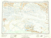
1950 · Bering Glacier
USGS Topo · 1:250,000
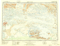
1951 · Bering Glacier
USGS Topo · 1:250,000
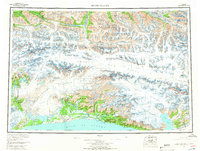
1959 · Bering Glacier
USGS Topo · 1:250,000
1984 · Bering Glacier D-7
USGS Topo · 1:63,360
1984 · Bering Glacier D-6
USGS Topo · 1:63,360
1985 · Bering Glacier C-7
USGS Topo · 1:63,360
1985 · Bering Glacier C-6
USGS Topo · 1:63,360
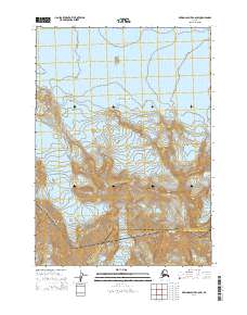
2014 · Bering Glacier C-6 SW
USGS Topo · 1:25,000
2014 · Bering Glacier C-7 NE
USGS Topo · 1:25,000
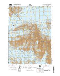
2014 · Bering Glacier C-7 SE
USGS Topo · 1:25,000