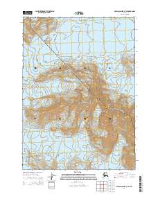
2014 Map of Bering Glacier C-7 SE
USGS Topo · Published 2014About this map
Wrangell-Saint Elias National Park encompasses a massive glacial landscape in this 2014 survey. The topography is dominated by the massive Steller Glacier and Waxell Glacier, separated by the high elevations of Waxell Ridge. This map illustrates the immense scale of these ice fields before modern warming significantly altered their boundaries. The area is entirely remote, devoid of roads or settlements, with the map primarily serving to document the natural boundary of the National Park and the intricate contour lines of the ice-covered peaks. Researchers and glaciologists can use this data to trace the historical footprint of these glaciers as they existed in the early 21st century.
Find a feature on this map
10 named features on this map. Tap any name to fly to it.
Don’t see what you’re looking for? This feature index may not catch every label — zoom into the map to look around manually.
Map Details
Editions of this 2014 Bering Glacier C-7 SE Map
This is the sole edition of this map. No revisions or reprints were ever made.
Other maps of this area

1950 · Bering Glacier
USGS Topo · 1:250,000

1951 · Bering Glacier
USGS Topo · 1:250,000

1959 · Bering Glacier
USGS Topo · 1:250,000
1985 · Bering Glacier C-7
USGS Topo · 1:63,360
1985 · Bering Glacier B-6
USGS Topo · 1:63,360
1985 · Bering Glacier B-7
USGS Topo · 1:63,360
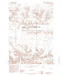
1985 · Bering Glacier C-6
USGS Topo · 1:63,360
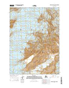
2014 · Bering Glacier B-7 NW
USGS Topo · 1:25,000
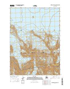
2014 · Bering Glacier C-6 SW
USGS Topo · 1:25,000
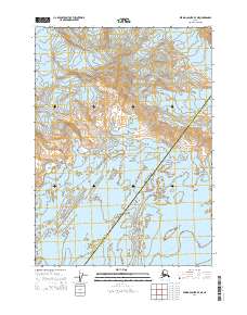
2014 · Bering Glacier B-7 NE
USGS Topo · 1:25,000