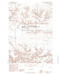
1985 Map of Bering Glacier C-6
USGS Topo · Published 1985About this map
Mount Steller anchors this high-altitude landscape in the mid-1980s, serving as a prominent landmark within the massive ice systems of south-central Alaska. This provisional survey captures the immense reach of the Bagley Icefield as it feeds into the Steller Glacier, illustrating a complex glacial environment before significant modern recession. The map highlights the intersection of the Wrangell - Saint Elias National Park and the protected Wrangell - Saint Elias Wilderness, preserving a record of this federally managed interior. Geomorphological details like the prominent Moraine and the jagged Waxell Ridge reveal the raw, slow-moving power of the ice as it shaped the Chugach and Saint Elias ranges. Compiled from aerial photography taken in the early 1970s, the map provides a precise baseline for studying glacial movement and wilderness boundaries in one of the most remote sections of the state.
Find a feature on this map
8 named features on this map. Tap any name to fly to it.
Don’t see what you’re looking for? This feature index may not catch every label — zoom into the map to look around manually.
Map Details
Editions of this 1985 Bering Glacier C-6 Map
This is the sole edition of this map. No revisions or reprints were ever made.
Other maps of this area

1950 · Bering Glacier
USGS Topo · 1:250,000

1951 · Bering Glacier
USGS Topo · 1:250,000

1959 · Bering Glacier
USGS Topo · 1:250,000
1984 · Bering Glacier D-7
USGS Topo · 1:63,360
1984 · Bering Glacier D-6
USGS Topo · 1:63,360

1984 · Bering Glacier D-5
USGS Topo · 1:63,360
1985 · Bering Glacier C-7
USGS Topo · 1:63,360
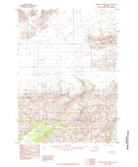
1985 · Bering Glacier B-5
USGS Topo · 1:63,360
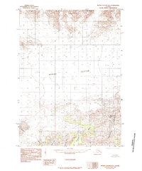
1985 · Bering Glacier B-6
USGS Topo · 1:63,360
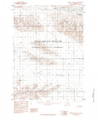
1985 · Bering Glacier C-5
USGS Topo · 1:63,360