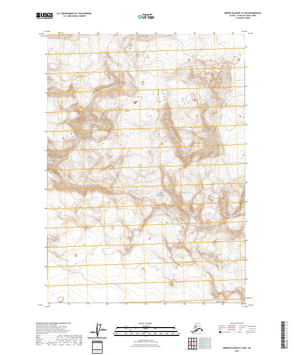
2024 Map of Bering Glacier C-6 NW
USGS Topo · Published 2024About this map
Wrangell-St Elias Wilderness dominates the central landscape of this quadrangle, preserving a massive expanse of protected mountain terrain. High peaks of the Chugach Mountains define the topography here, where steep contours and high-altitude ridges descend toward the massive Bagley Ice Valley along the southern edge. This glacial corridor represents one of the largest subarctic icefields in North America, acting as a primary drainage for the surrounding ice and snow accumulation.
Find a feature on this map
7 named features on this map. Tap any name to fly to it.
Don’t see what you’re looking for? This feature index may not catch every label — zoom into the map to look around manually.
Map Details
Editions of this 2024 Bering Glacier C-6 NW Map
This is the sole edition of this map. No revisions or reprints were ever made.
Other maps of this area

1950 · Bering Glacier
USGS Topo · 1:250,000

1951 · Bering Glacier
USGS Topo · 1:250,000

1959 · Bering Glacier
USGS Topo · 1:250,000
1984 · Bering Glacier D-7
USGS Topo · 1:63,360
1984 · Bering Glacier D-6
USGS Topo · 1:63,360
1985 · Bering Glacier C-7
USGS Topo · 1:63,360
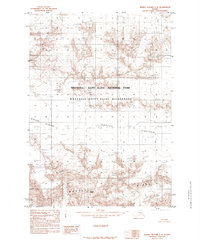
1985 · Bering Glacier C-6
USGS Topo · 1:63,360
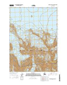
2014 · Bering Glacier C-6 SW
USGS Topo · 1:25,000
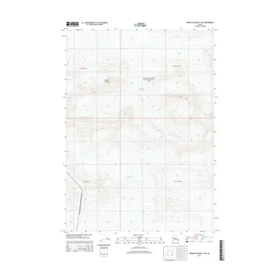
2014 · Bering Glacier C-7 NE
USGS Topo · 1:25,000
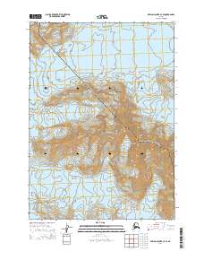
2014 · Bering Glacier C-7 SE
USGS Topo · 1:25,000