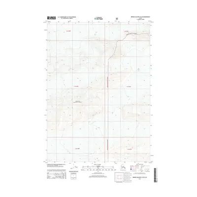
2014 Map of Bering Glacier C-8 SW
USGS Topo · Published 2014About this map
Chugach National Forest encompasses this high-latitude terrain, where massive ice fields and glacial meltwater define the landscape. The movement of ice is recorded in the presence of the Miles Glacier to the north and the Martin River Glacier along the eastern edge of the quadrangle. These frozen river systems are separated by sharp topographical ridges and high-altitude basins, indicating a wilderness largely untouched by permanent human settlement or infrastructure. At lower elevations, drainage from the surrounding slopes collects in Canyon Lake, a significant water body situated near the southern boundary. The map provides a detailed view of the complex contours and glacial features within the t15s r8e and t15s r9e townships, documenting the glacial margins as they appeared in the early 21st century.
Find a feature on this map
12 named features on this map. Tap any name to fly to it.
Don’t see what you’re looking for? This feature index may not catch every label — zoom into the map to look around manually.
Map Details
Editions of this 2014 Bering Glacier C-8 SW Map
This is the sole edition of this map. No revisions or reprints were ever made.
Other maps of this area
1948 · Cordova
USGS Topo · 1:250,000
1950 · Bering Glacier
USGS Topo · 1:250,000
1951 · Bering Glacier
USGS Topo · 1:250,000
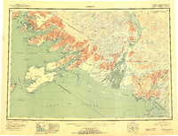
1951 · Cordova
USGS Topo · 1:250,000
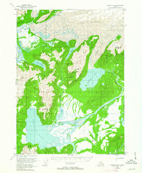
1951 · Cordova B-1
USGS Topo · 1:63,360
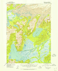
1953 · Cordova B-1
USGS Topo · 1:63,360
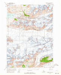
1959 · Cordova C-1
USGS Topo · 1:63,360
1959 · Bering Glacier
USGS Topo · 1:250,000
1959 · Cordova
USGS Topo · 1:250,000
1985 · Bering Glacier B-8
USGS Topo · 1:63,360