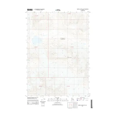
2014 Map of Bering Glacier D-6 SW
USGS Topo · Published 2014About this map
Wrangell-Saint Elias National Park encompasses much of this high-elevation landscape within the Chugach Mountains. The topography is defined by massive glacial systems and steep vertical relief, where ice and rock dominate the physical environment. In the southwestern portion of the sheet, the Bremner Glacier flows through deep valleys, while the Tana Glacier appears along the southern margin. This survey provides a precise look at the glacial extents and mountain peaks of the Alaskan interior as they were documented in the early twenty-first century. The presence of the Public Land Survey System grid lines across these remote ice fields illustrates the technical reach of federal land management even in the most inaccessible reaches of the Unorganized Borough.
Find a feature on this map
10 named features on this map. Tap any name to fly to it.
Don’t see what you’re looking for? This feature index may not catch every label — zoom into the map to look around manually.
Map Details
Editions of this 2014 Bering Glacier D-6 SW Map
This is the sole edition of this map. No revisions or reprints were ever made.
Other maps of this area

1950 · Bering Glacier
USGS Topo · 1:250,000

1951 · Bering Glacier
USGS Topo · 1:250,000

1959 · Bering Glacier
USGS Topo · 1:250,000
1984 · Bering Glacier D-7
USGS Topo · 1:63,360
1984 · Bering Glacier D-6
USGS Topo · 1:63,360
1985 · Bering Glacier C-7
USGS Topo · 1:63,360
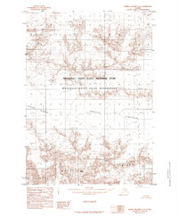
1985 · Bering Glacier C-6
USGS Topo · 1:63,360
2014 · Bering Glacier D-6 NW
USGS Topo · 1:25,000
2014 · Bering Glacier C-7 NE
USGS Topo · 1:25,000
2014 · Bering Glacier D-7 NE
USGS Topo · 1:25,000