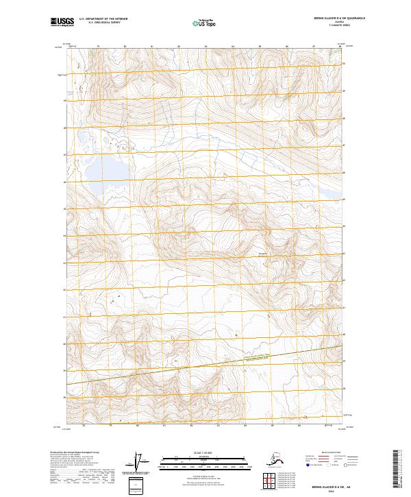
2024 Map of Bering Glacier D-6 SW
USGS Topo · Published 2024About this map
The Wrangell-St Elias Wilderness dominates this remote Alaskan landscape, where ice and high-altitude terrain define the environment. In the northwestern corner, the Bremner Glacier flows across the topography, a significant glacial feature within this protected corridor. The map serves as a document of the boundary line between the Copper River Census Area and the Chugach Census Area, which cuts across the southern portion of the quadrangle. This area is characterized by steep elevation changes and a total absence of road infrastructure, representing a portion of the American wilderness where natural landforms and glacial movement are the primary features of interest for geologists and wilderness researchers.
Find a feature on this map
10 named features on this map. Tap any name to fly to it.
Don’t see what you’re looking for? This feature index may not catch every label — zoom into the map to look around manually.
Map Details
Editions of this 2024 Bering Glacier D-6 SW Map
This is the sole edition of this map. No revisions or reprints were ever made.
Other maps of this area

1950 · Bering Glacier
USGS Topo · 1:250,000

1951 · Bering Glacier
USGS Topo · 1:250,000

1959 · Bering Glacier
USGS Topo · 1:250,000
1984 · Bering Glacier D-7
USGS Topo · 1:63,360
1984 · Bering Glacier D-6
USGS Topo · 1:63,360
1985 · Bering Glacier C-7
USGS Topo · 1:63,360
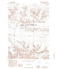
1985 · Bering Glacier C-6
USGS Topo · 1:63,360
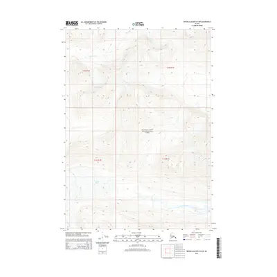
2014 · Bering Glacier D-6 NW
USGS Topo · 1:25,000
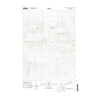
2014 · Bering Glacier C-7 NE
USGS Topo · 1:25,000
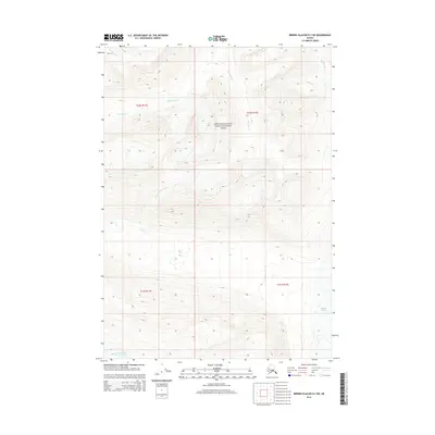
2014 · Bering Glacier D-7 NE
USGS Topo · 1:25,000