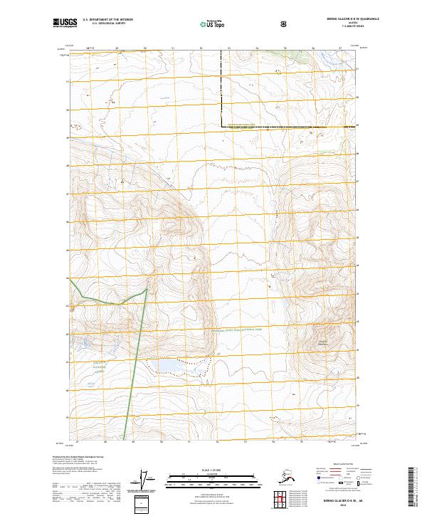
2024 Map of Bering Glacier D-8 SE
USGS Topo · Published 2024About this map
The Chugach Mountains dominate this high-altitude landscape, where vast ice fields and glacial systems define the physical environment. Major ice features like Fan Glacier and Wernicke Glacier illustrate the dynamic glacial activity that has shaped the drainage patterns of the region, including the headwaters of the Middle Fork Bremner River. This survey captures a point of transition between the Wrangell-St. Elias Wilderness and the Wrangell-Saint Elias National Park, which are further bounded by the Chugach National Forest to the south. The jurisdictional boundary between the Copper River Census Area and the Chugach Census Area crosses through these mountain peaks, marking a remote administrative line through some of the most preserved wilderness in the United States.
Find a feature on this map
15 named features on this map. Tap any name to fly to it.
Don’t see what you’re looking for? This feature index may not catch every label — zoom into the map to look around manually.
Map Details
Editions of this 2024 Bering Glacier D-8 SE Map
This is the sole edition of this map. No revisions or reprints were ever made.
Other maps of this area

1950 · Bering Glacier
USGS Topo · 1:250,000

1951 · Bering Glacier
USGS Topo · 1:250,000

1959 · Bering Glacier
USGS Topo · 1:250,000
1984 · Bering Glacier D-7
USGS Topo · 1:63,360
1984 · Bering Glacier D-8
USGS Topo · 1:63,360
1985 · Bering Glacier C-7
USGS Topo · 1:63,360
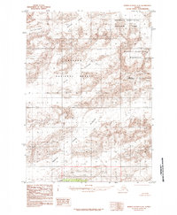
1985 · Bering Glacier C-8
USGS Topo · 1:63,360
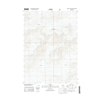
2014 · Bering Glacier C-8 NW
USGS Topo · 1:25,000
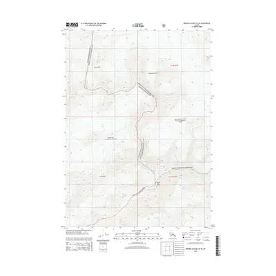
2014 · Bering Glacier C-8 NE
USGS Topo · 1:25,000
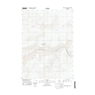
2014 · Bering Glacier C-7 NW
USGS Topo · 1:25,000