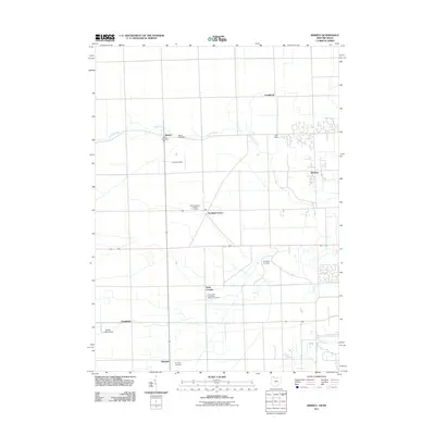
2011 Map of Berkey
USGS Topo · Published 2011About this map
Berkey serves as a central point of reference in this landscape along the Ohio-Michigan border, where agricultural grid lines are punctuated by small rural crossroads. The area is defined by a series of long-standing community hubs like Richfield Center and Raab Corners, which maintain their distinct identities through local institutions. The drainage of Tenmile Creek meanders across the northern half of the region, contrasting with the straight-line geometry of the section roads.
Find a feature on this map
19 named features on this map. Tap any name to fly to it.
Don’t see what you’re looking for? This feature index may not catch every label — zoom into the map to look around manually.
Map Details
Editions of this 2011 Berkey Map
This is the sole edition of this map. No revisions or reprints were ever made.
Other maps of this area

1900 · Toledo
USGS Topo · 1:62,500

1911 · Swanton
USGS Topo · 1:62,500

1912 · Dundee
USGS Topo · 1:62,500

1914 · Swanton
USGS Topo · 1:62,500

1926 · Dundee
USGS Topo · 1:62,500

1935 · Whitehouse
USGS Topo · 1:24,000

1935 · Maumee
USGS Topo · 1:24,000

1935 · Berkey
USGS Topo · 1:24,000
1937 · Sylvania
USGS Topo · 1:31,680
1938 · Maumee
USGS Topo · 1:31,680