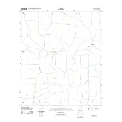
2011 Map of Berlin
USGS Topo · Published 2011About this map
Berlin and the surrounding drainage basin of the Chemin-A-Haut Creek define this landscape along the Arkansas-Louisiana border. The terrain is a network of slow-moving water bodies, including Hanks Creek, West Creek, and Maxwell Creek, which converge as they move toward the Chemin-A-Haut Bayou. Small, dispersed settlements like Geddie, Rawls, and Gulledge are connected by a dense grid of numbered rural routes, such as Ashley Road 25 and Ashley Road 266. Near the eastern edge, Extra Cemetery stands as a notable landmark for those researching local family history in this quiet corner of Morehouse Parish. The map captures the persistence of these small communities and the intricate hydrology that has long influenced the placement of roads and homesteads in the region.
Find a feature on this map
62 named features on this map. Tap any name to fly to it.
Don’t see what you’re looking for? This feature index may not catch every label — zoom into the map to look around manually.
Map Details
Editions of this 2011 Berlin Map
This is the sole edition of this map. No revisions or reprints were ever made.
Other maps of this area

1935 · Wilmot
USGS Topo · 1:62,500

1935 · Naff
USGS Topo · 1:62,500

1935 · Bonita
USGS Topo · 1:62,500

1953 · Greenwood
USGS Topo · 1:250,000

1955 · Jackson
USGS Topo · 1:250,000

1956 · Greenwood
USGS Topo · 1:250,000

1956 · Bastrop
USGS Topo · 1:62,500

1958 · Bonita
USGS Topo · 1:62,500

1960 · Wilmot
USGS Topo · 1:62,500

1960 · Wilmot NW
USGS Topo · 1:24,000