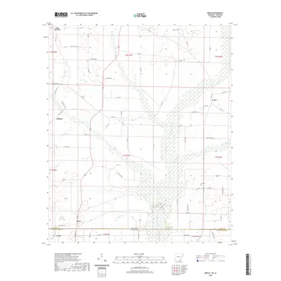
2020 Map of Berlin
USGS Topo · Published 2020About this map
The Arkansas-Louisiana state line bisects this landscape, where the southern portion of Ashley County meets the northern edge of Morehouse Parish. This territory is defined by an intricate network of waterways draining into larger basins, most notably Chemin-A-Haut Cr and its various tributaries like Hanks Cr and White Oak Cr. Small, scattered communities such as Berlin, Gulledge, and Geddie are connected by a grid of rural routes and logging roads, reflecting the region's enduring reliance on timber and agriculture.
Find a feature on this map
78 named features on this map. Tap any name to fly to it.
Don’t see what you’re looking for? This feature index may not catch every label — zoom into the map to look around manually.
Map Details
Editions of this 2020 Berlin Map
This is the sole edition of this map. No revisions or reprints were ever made.
Other maps of this area

1935 · Wilmot
USGS Topo · 1:62,500

1935 · Naff
USGS Topo · 1:62,500

1935 · Bonita
USGS Topo · 1:62,500

1953 · Greenwood
USGS Topo · 1:250,000

1955 · Jackson
USGS Topo · 1:250,000

1956 · Greenwood
USGS Topo · 1:250,000

1956 · Bastrop
USGS Topo · 1:62,500

1958 · Bonita
USGS Topo · 1:62,500

1960 · Wilmot
USGS Topo · 1:62,500

1960 · Wilmot NW
USGS Topo · 1:24,000