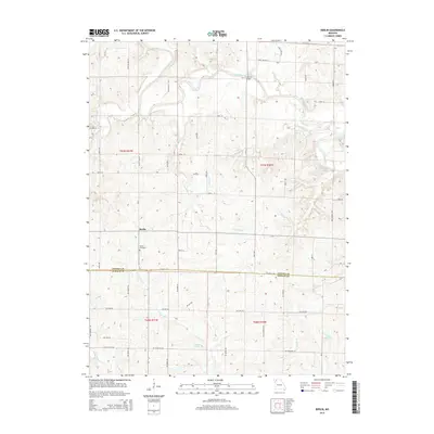
2014 Map of Berlin
USGS Topo · Published 2014About this map
The settlement of Berlin anchors this agricultural landscape at the border of Gentry and DeKalb counties. The terrain is defined by a dense network of meandering waterways, most notably the Grand River and its northern tributaries like Jolly Cr and Beach Br, while the southern reaches drain through the E Fork Lost Cr and Middle Fork Lost Cr. Local history and genealogy interests are centered near the Berlin Cemetery and the site of Crawford Bridge, which crosses the river near State Highway T. This 2014 survey reveals a transition in the local economy, where traditional creek-fed drainage meets modern water management at Lake Mar-Lou and Jesters Lake. Early transportation routes are preserved in the naming of the Gentryville Trl and Old Havana Trl, suggesting long-standing corridors through Miller Township.
Find a feature on this map
55 named features on this map. Tap any name to fly to it.
Don’t see what you’re looking for? This feature index may not catch every label — zoom into the map to look around manually.
Map Details
Editions of this 2014 Berlin Map
This is the sole edition of this map. No revisions or reprints were ever made.
Other maps of this area

1923 · Maysville
USGS Topo · 1:62,500

1924 · Winston
USGS Topo · 1:62,500

1925 · Pattonsburg
USGS Topo · 1:62,500

1925 · Maysville
USGS Topo · 1:62,500

1925 · Darlington
USGS Topo · 1:62,500

1944 · Pattonsburg
USGS Topo · 1:62,500

1946 · Pattonsburg
USGS Topo · 1:48,000

1948 · Pattonsburg
USGS Topo · 1:62,500

1950 · Kansas City
USGS Topo · 1:250,000

1950 · Darlington
USGS Topo · 1:62,500