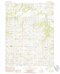
1985 Map of Berlin
USGS Topo · Published 1985About this map
Grand River meanders across this northern Missouri landscape, carving through the townships of Miller, Grant, and Dallas. The terrain is defined by an intricate network of drainage, where waterways like Hickory Creek, Campbell Creek, and Brushy Creek feed into the primary river valley. The small settlement of Berlin sits central to the quadrangle, serving as a quiet focal point in a region dominated by agricultural patterns and conservation land, such as the Elam Bend State Wildlife Area.
Find a feature on this map
22 named features on this map. Tap any name to fly to it.
Don’t see what you’re looking for? This feature index may not catch every label — zoom into the map to look around manually.
Map Details
Editions of this 1985 Berlin Map
This is the sole edition of this map. No revisions or reprints were ever made.
Other maps of this area

1923 · Maysville
USGS Topo · 1:62,500

1924 · Winston
USGS Topo · 1:62,500

1925 · Pattonsburg
USGS Topo · 1:62,500

1925 · Maysville
USGS Topo · 1:62,500

1925 · Darlington
USGS Topo · 1:62,500

1944 · Pattonsburg
USGS Topo · 1:62,500

1946 · Pattonsburg
USGS Topo · 1:48,000

1948 · Pattonsburg
USGS Topo · 1:62,500

1950 · Kansas City
USGS Topo · 1:250,000

1950 · Darlington
USGS Topo · 1:62,500