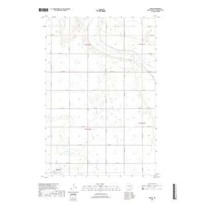
2018 Map of Berlin
USGS Topo · Published 2018About this map
Berlin occupies the southwestern corner of this survey, established at the intersection of 1st Ave and Elevator Ave in a landscape dominated by the prairie potholes and drainage basins of LaMoure County. The James River meanders across the northern half of the quadrangle, joined by the seasonal flow of Bone Hill Cr from the northwest. The southern reaches are defined by the winding course of Cottonwood Cr, which cuts through the grid of section lines and county roads. The map reveals a highly structured agricultural grid, where arterial routes like Co Rd 62 and Co Rd 63 provide the primary connectivity between isolated farmsteads and the central hub at Berlin. This 2018 data illustrates the persistent rural character of the Great Plains, where natural waterways like the James River continue to dictate the placement of local infrastructure and land divisions.
Find a feature on this map
34 named features on this map. Tap any name to fly to it.
Don’t see what you’re looking for? This feature index may not catch every label — zoom into the map to look around manually.
Map Details
Editions of this 2018 Berlin Map
This is the sole edition of this map. No revisions or reprints were ever made.
Other maps of this area
1894 · La Moure
USGS Topo · 1:62,500
1895 · Lamoure
USGS Topo · 1:125,000
1896 · Jamestown
USGS Topo · 1:125,000
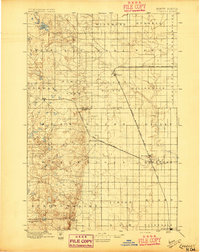
1896 · Edgeley
USGS Topo · 1:125,000
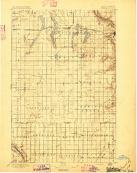
1897 · Eckelson
USGS Topo · 1:125,000
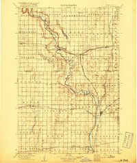
1918 · La Moure
USGS Topo · 1:125,000
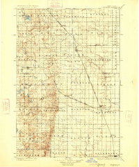
1925 · Edgeley
USGS Topo · 1:125,000
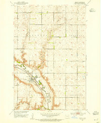
1952 · Dickey
USGS Topo · 1:24,000
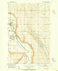
1952 · Grand Rapids
USGS Topo · 1:24,000

1953 · Jamestown
USGS Topo · 1:250,000