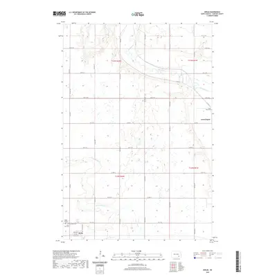
2020 Map of Berlin
USGS Topo · Published 2020About this map
Berlin and the historic site of Grand Rapids anchor this North Dakota landscape, where the meandering James River cuts through the northern sections of the survey. The town of Berlin is detailed in the southwest, showing a grid defined by Elevator Ave and 1st Ave, reflective of its agricultural roots. The surrounding prairie is dotted with significant local history markers, including Rogate Lutheran Cem and Saint John's Cem, which offer tangible links for genealogists tracing early families in LaMoure County. Drainage patterns are defined by the winding paths of Cottonwood Cr and Bone Hill Cr, which feed toward the river valley. The map clearly illustrates the transition from organized township grids to the natural topography of the river basin, providing a clear view of the area's rural development and land use in the modern era.
Find a feature on this map
36 named features on this map. Tap any name to fly to it.
Don’t see what you’re looking for? This feature index may not catch every label — zoom into the map to look around manually.
Map Details
Editions of this 2020 Berlin Map
This is the sole edition of this map. No revisions or reprints were ever made.
Other maps of this area

1894 · La Moure
USGS Topo · 1:62,500

1895 · Lamoure
USGS Topo · 1:125,000

1896 · Jamestown
USGS Topo · 1:125,000

1896 · Edgeley
USGS Topo · 1:125,000

1897 · Eckelson
USGS Topo · 1:125,000

1918 · La Moure
USGS Topo · 1:125,000

1925 · Edgeley
USGS Topo · 1:125,000

1952 · Dickey
USGS Topo · 1:24,000

1952 · Grand Rapids
USGS Topo · 1:24,000

1953 · Jamestown
USGS Topo · 1:250,000