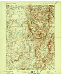
1898 Map of Berlin
USGS Topo · Published 1937About this map
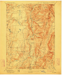
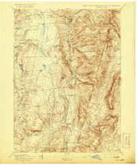
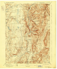
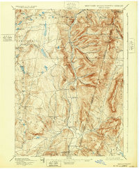
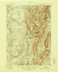
Rutland Railroad tracks carve a north-south corridor through the narrow valley of the Hoosic River, connecting the rural hamlets of Berlin and South Berlin during the late 19th century. This rugged portion of Rensselaer County is defined by the steep ascent to the New York Massachusetts boundary line, where heights like Berlin Mtn. and Sugarloaf Hill separate the Hudson and Housatonic watersheds. The map reveals a landscape of upland farming and transit, where local roads wind through numerous named hollows such as Barber Hollow and Mc Master Hollow. To the south, Stephentown serves as a local hub near the confluence of Kinderhook Creek and the Black River. The presence of scattered mountain ponds, including Big Bowman Pond and Dyking Pond, suggests the localized water resources that supported these early upland communities before the expansion of modern infrastructure.
Find a feature on this map
73 named features on this map. Tap any name to fly to it.
Don’t see what you’re looking for? This feature index may not catch every label — zoom into the map to look around manually.
Map Details
Editions of this 1898 Berlin Map
10 editions found

Other maps of this area

1886 · Greylock
USGS Topo · 1:62,500

1886 · Becket
USGS Topo · 1:62,500

1888 · Becket
USGS Topo · 1:62,500

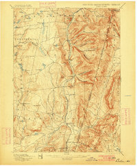
1888 · Berlin
USGS Topo · 1:62,500

1888 · Pittsfield
USGS Topo · 1:62,500

1890 · Pittsfield
USGS Topo · 1:62,500

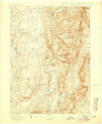
1890 · Berlin
USGS Topo · 1:62,500

1891 · Greylock
USGS Topo · 1:62,500

1893 · Cohoes
USGS Topo · 1:62,500

1893 · Troy
USGS Topo · 1:62,500