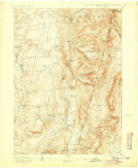
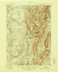
1898 Map of Berlin
USGS Topo · Published 1905About this map
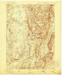
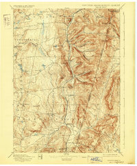
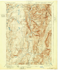
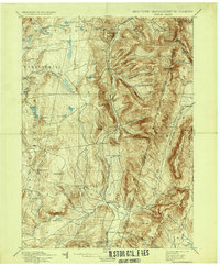
Berlin and the surrounding valley communities of Stephentown and Hancock define this late nineteenth-century landscape along the borders of New York, Massachusetts, and Vermont. The survey details a highly fragmented network of small agricultural and milling settlements, from the hillside hamlet of Taborton to the valley floors where the Lebanon Springs Railroad follows the path of Kinderhook Creek. The terrain is marked by numerous family-named hollows, including Barber Hollow and George Allen Hollow, which speak to the deep-rooted genealogical history of the Taconic range.
Find a feature on this map
75 named features on this map. Tap any name to fly to it.
Don’t see what you’re looking for? This feature index may not catch every label — zoom into the map to look around manually.
Map Details
Editions of this 1898 Berlin Map
10 editions found

Other maps of this area

1886 · Greylock
USGS Topo · 1:62,500

1886 · Becket
USGS Topo · 1:62,500

1888 · Becket
USGS Topo · 1:62,500

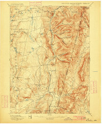
1888 · Berlin
USGS Topo · 1:62,500

1888 · Pittsfield
USGS Topo · 1:62,500

1890 · Pittsfield
USGS Topo · 1:62,500

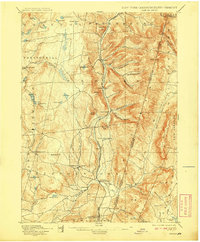
1890 · Berlin
USGS Topo · 1:62,500

1891 · Greylock
USGS Topo · 1:62,500

1893 · Cohoes
USGS Topo · 1:62,500

1893 · Troy
USGS Topo · 1:62,500