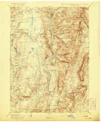
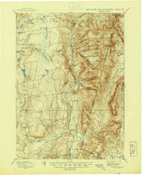
1898 Map of Berlin
USGS Topo · Published 1921About this map
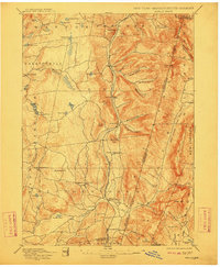
Berlin and the surrounding Taconic valley define this late 19th-century landscape at the convergence of New York, Massachusetts, and Vermont. The Rutland Railroad provides a clear north-south industrial spine through the valley floor, connecting agricultural outposts like South Berlin and North Stephentown while threading between the steep rises of the mountains. The map reveals a dense network of hollows carved into the uplands, including Barber Hollow and Mattison Hollow, which served as critical drainage and transit points for the local economy.
Find a feature on this map
76 named features on this map. Tap any name to fly to it.
Don’t see what you’re looking for? This feature index may not catch every label — zoom into the map to look around manually.
Map Details
Editions of this 1898 Berlin Map
10 editions found

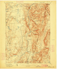
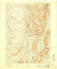
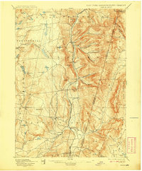
Other maps of this area

1886 · Greylock
USGS Topo · 1:62,500

1886 · Becket
USGS Topo · 1:62,500

1888 · Becket
USGS Topo · 1:62,500

1888 · Berlin
USGS Topo · 1:62,500

1888 · Pittsfield
USGS Topo · 1:62,500

1890 · Pittsfield
USGS Topo · 1:62,500

1890 · Berlin
USGS Topo · 1:62,500

1891 · Greylock
USGS Topo · 1:62,500

1893 · Cohoes
USGS Topo · 1:62,500

1893 · Troy
USGS Topo · 1:62,500