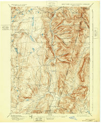
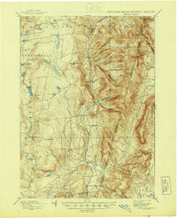
1898 Map of Berlin
USGS Topo · Published 1932About this map
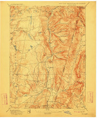
Lebanon Springs Railroad tracks follow the narrow valley floor of Kinderhook Creek, serving a string of late nineteenth-century settlements including Berlin, South Berlin, and Stephentown. The landscape is defined by the sharp divide of the Taconic Mountains, where the state boundary separates Rensselaer and Berkshire Counties. This era of development shows a clear pattern of valley-bottom industry and transport, contrasted with the upland hollows like Barber Hollow and Mattison Hollow that carve into the high ridges.
Find a feature on this map
77 named features on this map. Tap any name to fly to it.
Don’t see what you’re looking for? This feature index may not catch every label — zoom into the map to look around manually.
Map Details
Editions of this 1898 Berlin Map
10 editions found

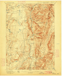
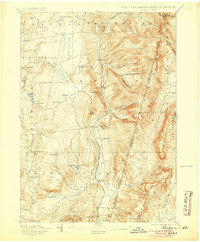
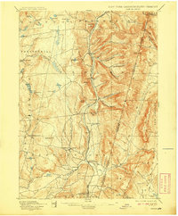
Other maps of this area

1886 · Greylock
USGS Topo · 1:62,500

1886 · Becket
USGS Topo · 1:62,500

1888 · Becket
USGS Topo · 1:62,500

1888 · Berlin
USGS Topo · 1:62,500

1888 · Pittsfield
USGS Topo · 1:62,500

1890 · Pittsfield
USGS Topo · 1:62,500

1890 · Berlin
USGS Topo · 1:62,500

1891 · Greylock
USGS Topo · 1:62,500

1893 · Cohoes
USGS Topo · 1:62,500

1893 · Troy
USGS Topo · 1:62,500