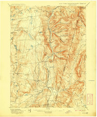
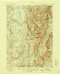
1898 Map of Berlin
USGS Topo · Published 1908About this map
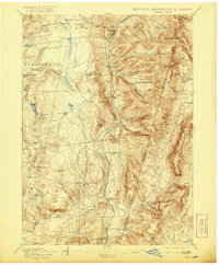
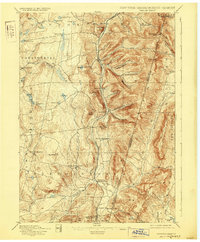
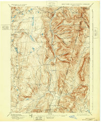
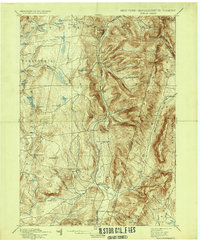
The Hoosic River valley serves as a central corridor for the Lebanon Springs Railroad, which connects several small hamlets in eastern Rensselaer County. This late-19th-century landscape is defined by its deep hollows and high ridges, including Berlin Mtn. and White Rocks along the state boundary line. The drainage patterns of the Quasten Kill and Tsatsawassa Creek illustrate the upland terrain west of the main valley, where pockets of settlement like East Poestenkill and Taborton are situated near numerous small ponds.
Find a feature on this map
76 named features on this map. Tap any name to fly to it.
Don’t see what you’re looking for? This feature index may not catch every label — zoom into the map to look around manually.
Map Details
Editions of this 1898 Berlin Map
10 editions found

Other maps of this area

1886 · Greylock
USGS Topo · 1:62,500

1886 · Becket
USGS Topo · 1:62,500

1888 · Becket
USGS Topo · 1:62,500

1888 · Berlin
USGS Topo · 1:62,500

1888 · Pittsfield
USGS Topo · 1:62,500

1890 · Pittsfield
USGS Topo · 1:62,500

1890 · Berlin
USGS Topo · 1:62,500

1891 · Greylock
USGS Topo · 1:62,500

1893 · Cohoes
USGS Topo · 1:62,500

1893 · Troy
USGS Topo · 1:62,500