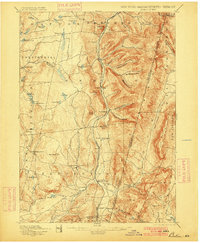
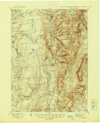
1898 Map of Berlin
USGS Topo · Published 1900About this map
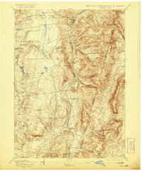
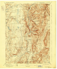
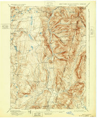
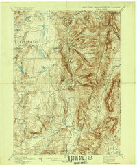
The Lebanon Springs Railroad defines the central valley of this late 19th-century survey, threading through the hamlets of Berlin, Center Berlin, and South Berlin as it follows the course of the Little Hoosic river system. The landscape is a complex network of narrow valleys and high ridges, punctuated by prominent summits like Berlin Mtn. and Sugarloaf Hill. In the western portion of the sheet, the terrain levels into a plateau dense with small water bodies such as Big Bowman Pond, Little Bowman Pond, and Dyking Pond, where the village of Taborton and the Poesten Kill provide focal points for early settlement. Along the southeastern border, the terrain climbs toward the Taconics, with deep notches like Barber Hollow and Mattison Hollow carving into the hillsides. This map documents a period when the rural economy was deeply tied to the narrow corridors of the Kinderhook Creek and the railroad, before the large-scale shift toward modern highway development.
Find a feature on this map
73 named features on this map. Tap any name to fly to it.
Don’t see what you’re looking for? This feature index may not catch every label — zoom into the map to look around manually.
Map Details
Editions of this 1898 Berlin Map
10 editions found

Other maps of this area

1886 · Greylock
USGS Topo · 1:62,500

1886 · Becket
USGS Topo · 1:62,500

1888 · Becket
USGS Topo · 1:62,500

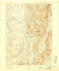
1888 · Berlin
USGS Topo · 1:62,500

1888 · Pittsfield
USGS Topo · 1:62,500

1890 · Pittsfield
USGS Topo · 1:62,500

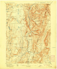
1890 · Berlin
USGS Topo · 1:62,500

1891 · Greylock
USGS Topo · 1:62,500

1893 · Cohoes
USGS Topo · 1:62,500

1893 · Troy
USGS Topo · 1:62,500