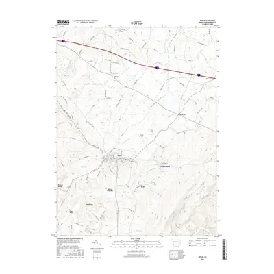
2016 Map of Berlin
USGS Topo · Published 2016About this map
Berlin serves as the central hub of this Somerset County landscape, where the Stonycreek River and Glades Valley shape the local topography. This 2016 survey highlights a network of small settlements and historical transit points, including Niver Junction and the colliery-related name of Shaft. The map captures the agricultural and early industrial character of the region, evidenced by the scattered distribution of communities like Brotherton, Macdonaldton, and Roxbury.
Find a feature on this map
89 named features on this map. Tap any name to fly to it.
Don’t see what you’re looking for? This feature index may not catch every label — zoom into the map to look around manually.
Map Details
Editions of this 2016 Berlin Map
This is the sole edition of this map. No revisions or reprints were ever made.
Other maps of this area

1913 · Somerset
USGS Topo · 1:62,500

1914 · Windber
USGS Topo · 1:62,500

1915 · Somerset
USGS Topo · 1:62,500

1916 · Windber
USGS Topo · 1:62,500

1921 · Meyersdale
USGS Topo · 1:62,500

1923 · Berlin
USGS Topo · 1:48,000

1929 · Berlin
USGS Topo · 1:62,500

1939 · Meyersdale
USGS Topo · 1:62,500

1944 · Somerset
USGS Topo · 1:62,500

1944 · Windber
USGS Topo · 1:62,500
Featured Places
- Berlin, PA
- Stonycreek Township, PA
- Somerset Township, PA
- Northampton Township, PA
- Downey, Stonycreek Township