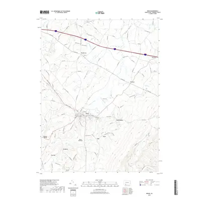
2019 Map of Berlin
USGS Topo · Published 2019About this map
Berlin serves as the central hub of this Somerset County landscape, where the local road network converges near the headwaters of the Stonycreek River. The region is defined by a series of small, closely-spaced settlements like Macdonaldton, Salco, and Niver Junction, reflecting a historical development pattern tied to the area's industrial and agricultural roots. To the north, Brotherton and Roxbury sit near the high ground of Glades Valley, while the southern reaches descend toward Blue Lick Cr and Pine Hill. Local history is anchored by sites such as Pike Cem and Mount Zion Hays Cem, while the name Shaft points toward the coal mining legacy that shaped these communities. The topography is marked by distinct drainages including Buffalo Cr, Millers Run, and the winding Hays Run, which carve through the terrain between Sandy Hollow and the surrounding ridges.
Find a feature on this map
118 named features on this map. Tap any name to fly to it.
Don’t see what you’re looking for? This feature index may not catch every label — zoom into the map to look around manually.
Map Details
Editions of this 2019 Berlin Map
This is the sole edition of this map. No revisions or reprints were ever made.
Other maps of this area

1913 · Somerset
USGS Topo · 1:62,500

1914 · Windber
USGS Topo · 1:62,500

1915 · Somerset
USGS Topo · 1:62,500

1916 · Windber
USGS Topo · 1:62,500

1921 · Meyersdale
USGS Topo · 1:62,500

1923 · Berlin
USGS Topo · 1:48,000

1929 · Berlin
USGS Topo · 1:62,500

1939 · Meyersdale
USGS Topo · 1:62,500

1944 · Somerset
USGS Topo · 1:62,500

1944 · Windber
USGS Topo · 1:62,500
Featured Places
- Berlin, PA
- Stonycreek Township, PA
- Somerset Township, PA
- Northampton Township, PA
- Downey, Stonycreek Township