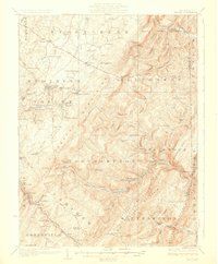
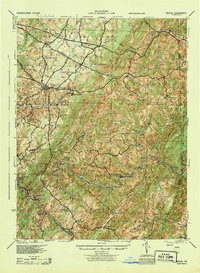
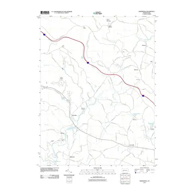
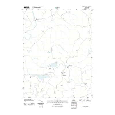
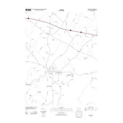
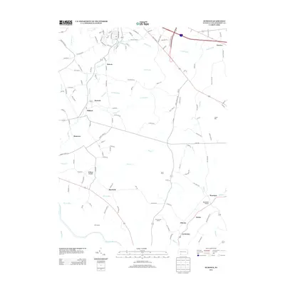
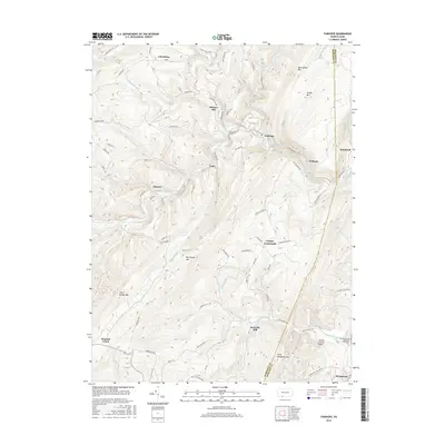
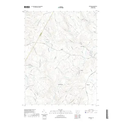
1929 Map of Berlin
USGS Topo · Published 1929About this map
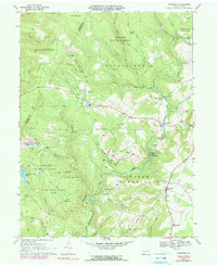
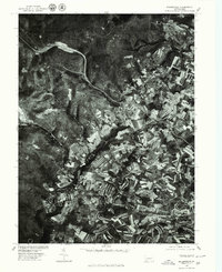
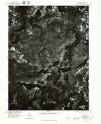
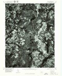
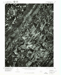
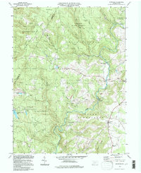
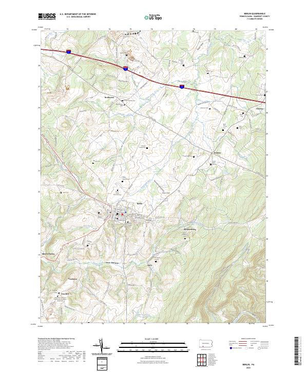
Allegheny Mountain forms the dramatic central spine of this landscape, separating the headwaters of the Raystown Branch Juniata River from the Stony Creek Valley. The terrain is defined by its industrial and transit corridors, where the Baltimore and Ohio RR and Western Maryland RR navigate the high passes and gaps. Near the summit, the Falls Cut Tunnel and the settlement of Sand Patch mark critical points in this railroad-dependent economy.
Find a feature on this map
102 named features on this map. Tap any name to fly to it.
Don’t see what you’re looking for? This feature index may not catch every label — zoom into the map to look around manually.
Map Details
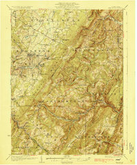
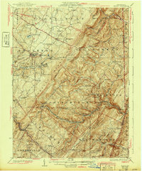
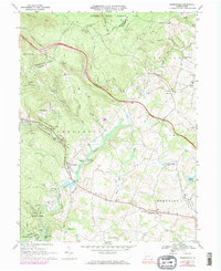
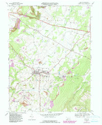
Editions of this 1929 Berlin Map
3 editions found
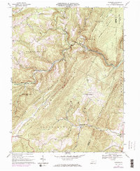
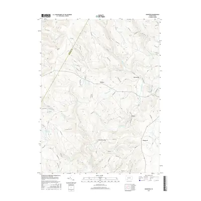
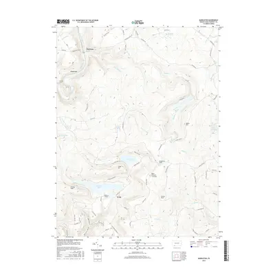
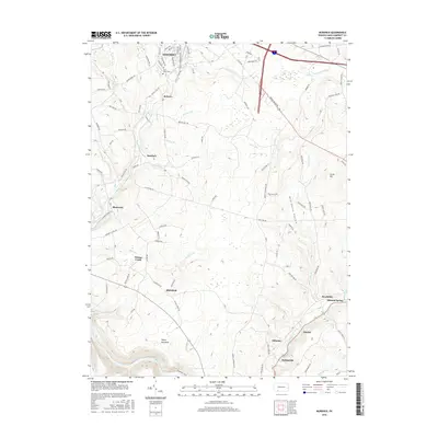
Historical Maps of Berlin Through Time
53 maps found
1923 Berlin
Somerset County, PA
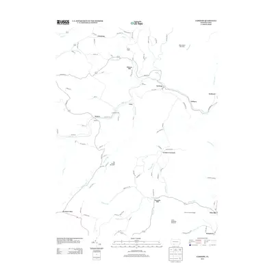
1929 Berlin
Somerset County, PA
1944 Berlin
Somerset County, PA
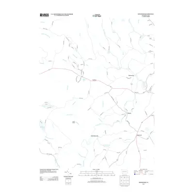
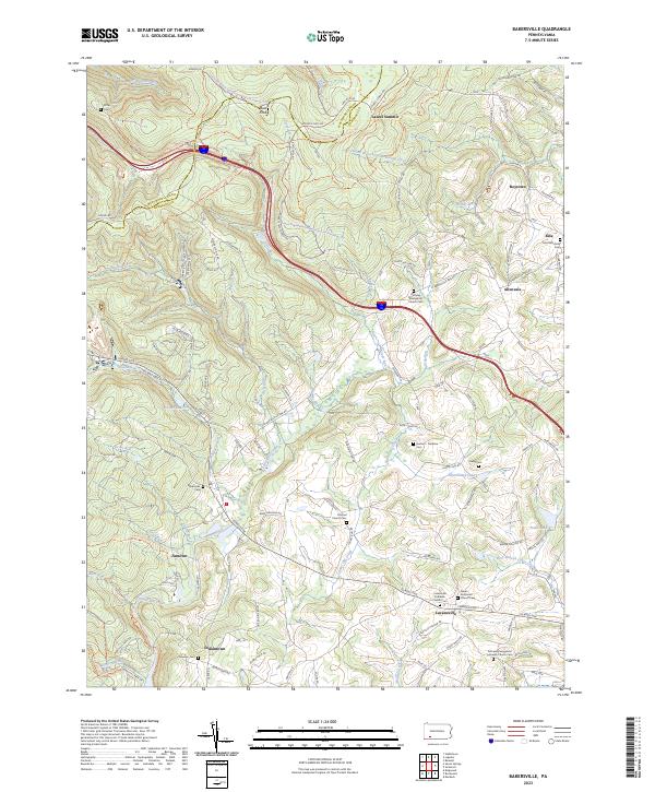
1967 Bakersville
Somerset County, PA
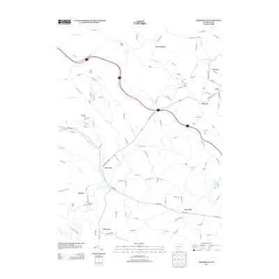
1967 Berlin
Somerset County, PA
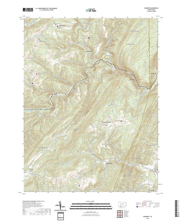
1967 Fairhope
Somerset County, PA
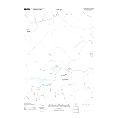
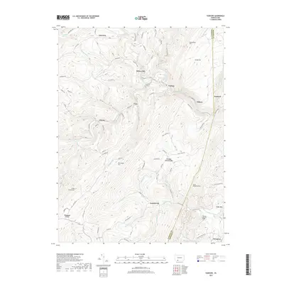
1967 Kingwood
Somerset County, PA
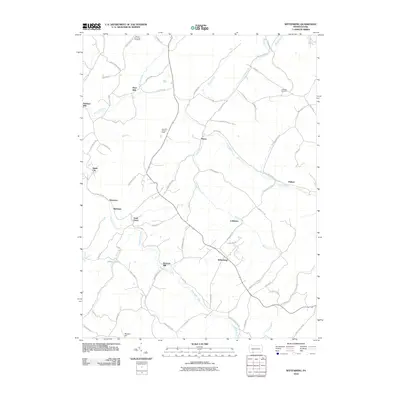
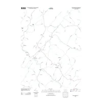
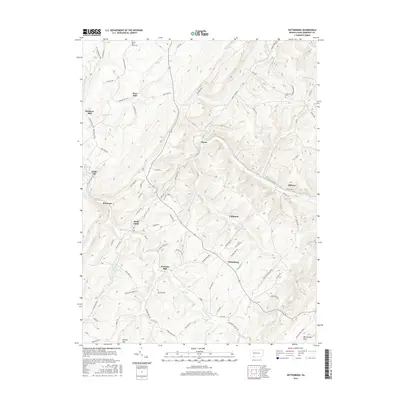
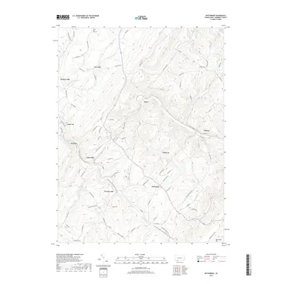
1967 Wittenburg
Somerset County, PA
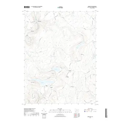
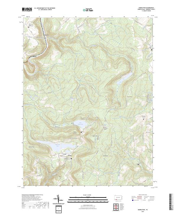
1968 Markleton
Somerset County, PA
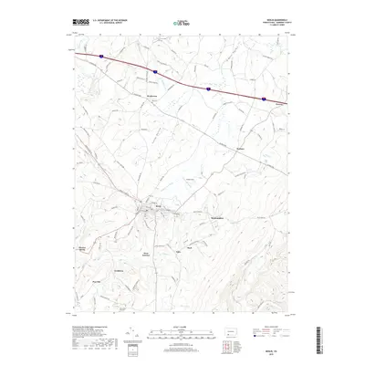
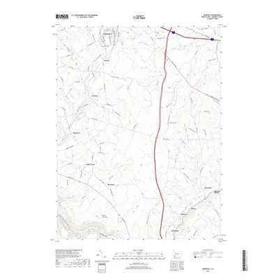
1968 Murdock
Somerset County, PA
1977 Bakersville
Somerset County, PA
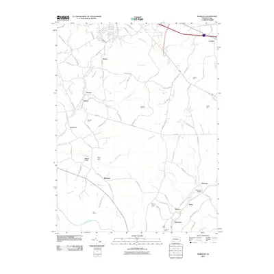
1977 Berlin
Somerset County, PA
1977 Fairhope
Somerset County, PA
1977 Kingwood
Somerset County, PA
1977 Markleton
Somerset County, PA
1977 Murdock
Somerset County, PA
1977 Wittenburg
Somerset County, PA
1994 Kingwood
Somerset County, PA
2010 Bakersville
Somerset County, PA
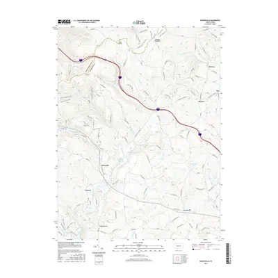
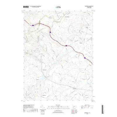
2010 Berlin
Somerset County, PA
2010 Fairhope
Somerset County, PA
2010 Kingwood
Somerset County, PA
2010 Markleton
Somerset County, PA
2010 Murdock
Somerset County, PA
2010 Wittenberg
Somerset County, PA
2013 Bakersville
Somerset County, PA
2013 Berlin
Somerset County, PA
2013 Fairhope
Somerset County, PA
2013 Kingwood
Somerset County, PA
2013 Markleton
Somerset County, PA
2013 Murdock
Somerset County, PA
2013 Wittenberg
Somerset County, PA
2016 Bakersville
Somerset County, PA
2016 Berlin
Somerset County, PA
2016 Fairhope
Somerset County, PA
2016 Kingwood
Somerset County, PA
2016 Markleton
Somerset County, PA
2016 Murdock
Somerset County, PA
2016 Wittenberg
Somerset County, PA
2019 Bakersville
Somerset County, PA
2019 Berlin
Somerset County, PA
2019 Fairhope
Somerset County, PA
2019 Kingwood
Somerset County, PA
2019 Markleton
Somerset County, PA
2019 Murdock
Somerset County, PA
2019 Wittenberg
Somerset County, PA
2023 Bakersville
Somerset County, PA
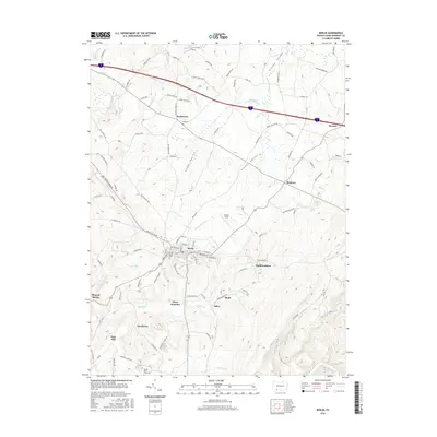
2023 Berlin
Somerset County, PA
2023 Fairhope
Somerset County, PA

2023 Kingwood
Somerset County, PA
2023 Markleton
Somerset County, PA
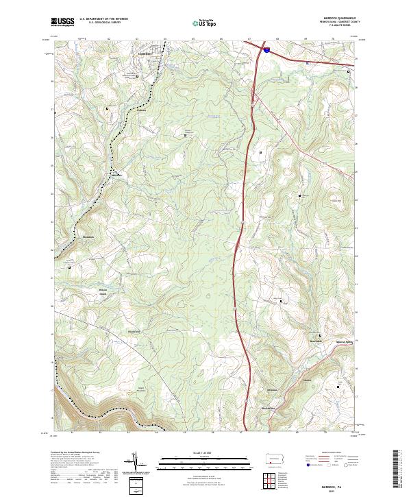
2023 Murdock
Somerset County, PA
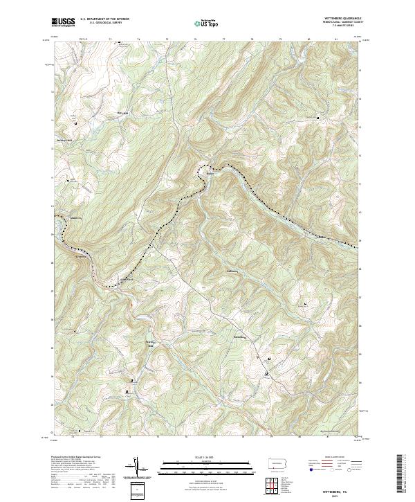
2023 Wittenberg
Somerset County, PA