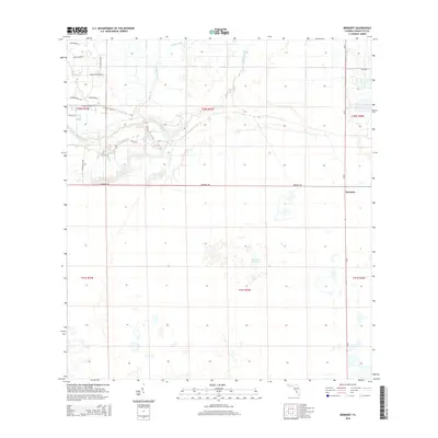
2015 Map of Bermont
USGS Topo · Published 2015About this map
Bermont sits at the intersection of SR-31 and Bermont Rd, serving as a primary point of reference in this interior section of Charlotte County. The landscape is defined by its subtle drainage networks, where Cypress Slough and Myrtle Slough filter through the lowlands toward the westward-winding Shell Creek. These waterways dictate the local geography, creating a mosaic of wetlands and slightly elevated hammocks that have historically influenced land use and cattle ranching in the region.
Find a feature on this map
24 named features on this map. Tap any name to fly to it.
Don’t see what you’re looking for? This feature index may not catch every label — zoom into the map to look around manually.
Map Details
Editions of this 2015 Bermont Map
This is the sole edition of this map. No revisions or reprints were ever made.
Other maps of this area

1956 · Arcadia SE
USGS Topo · 1:24,000

1956 · Telegraph Swamp
USGS Topo · 1:24,000

1956 · Cleveland
USGS Topo · 1:24,000

1956 · Telegraph Swamp NW
USGS Topo · 1:24,000

1956 · Ft. Ogden
USGS Topo · 1:24,000

1956 · Long Island Marsh SW
USGS Topo · 1:24,000

1956 · Bermont
USGS Topo · 1:24,000

1956 · West Palm Beach
USGS Topo · 1:250,000

1956 · Fort Pierce
USGS Topo · 1:250,000

1957 · West Palm Beach
USGS Topo · 1:250,000