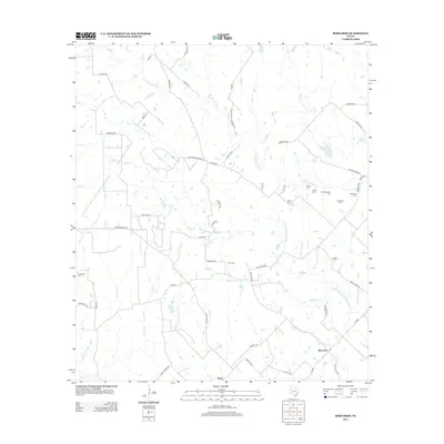
2013 Map of Bernardo
USGS Topo · Published 2013About this map
The settlement of Bernardo sits at the intersection of several rural Texas routes, serving as a hub for a landscape defined by the branching tributaries of the San Bernard River and Little San Bernard River. To the southwest, Mentz provides a secondary anchor for the region's network of country lanes. The map reveals a dense concentration of family-named burial grounds in the eastern portion of the quadrangle, including Hinks Cem, Himley Cem, and Bretschneider Cem, suggesting a long history of generational land ownership and rural kinship networks.
Find a feature on this map
63 named features on this map. Tap any name to fly to it.
Don’t see what you’re looking for? This feature index may not catch every label — zoom into the map to look around manually.
Map Details
Editions of this 2013 Bernardo Map
This is the sole edition of this map. No revisions or reprints were ever made.
Other maps of this area

1919 · Fayettsville
USGS Topo · 1:62,500

1953 · Seguin
USGS Topo · 1:250,000

1956 · Bellville
USGS Topo · 1:62,500

1956 · Glidden
USGS Topo · 1:62,500

1957 · Eagle Lake
USGS Topo · 1:62,500

1957 · Columbus
USGS Topo · 1:24,000

1958 · Seguin
USGS Topo · 1:250,000

1958 · Industry
USGS Topo · 1:24,000

1958 · Frelsburg
USGS Topo · 1:24,000

1958 · Bernardo
USGS Topo · 1:24,000