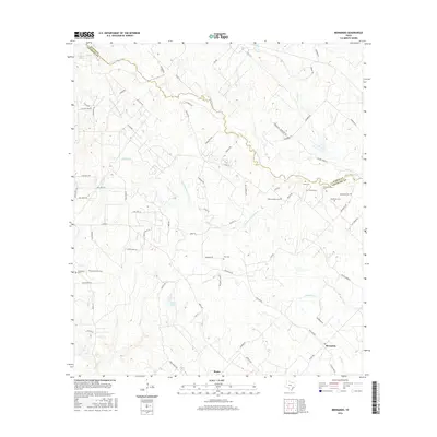
2016 Map of Bernardo
USGS Topo · Published 2016About this map
The San Bernard River and its southern tributary, the Little San Bernard River, carve a winding path through this corner of the Texas coastal plain. Centered on the communities of Bernardo and Mentz, the landscape is defined by a dense concentration of small family and community burial grounds, highlighting the deep genealogical roots of the local population. These include Zion Cem, Sommerlotte Cem, and several others like Hinks Cem and Reichardt Cem clustered near the Austin and Colorado county line.
Find a feature on this map
79 named features on this map. Tap any name to fly to it.
Don’t see what you’re looking for? This feature index may not catch every label — zoom into the map to look around manually.
Map Details
Editions of this 2016 Bernardo Map
This is the sole edition of this map. No revisions or reprints were ever made.
Other maps of this area

1919 · Fayettsville
USGS Topo · 1:62,500

1953 · Seguin
USGS Topo · 1:250,000

1956 · Bellville
USGS Topo · 1:62,500

1956 · Glidden
USGS Topo · 1:62,500

1957 · Eagle Lake
USGS Topo · 1:62,500

1957 · Columbus
USGS Topo · 1:24,000

1958 · Seguin
USGS Topo · 1:250,000

1958 · Industry
USGS Topo · 1:24,000

1958 · Frelsburg
USGS Topo · 1:24,000

1958 · Bernardo
USGS Topo · 1:24,000