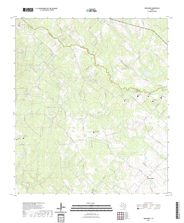
2022 Map of Bernardo
USGS Topo · Published 2022About this map
Bernardo sits at the heart of this landscape where the San Bernard River and Little San Bernard River define the local geography. The area's cultural history is marked by a high density of small family and community burial grounds, reflecting the deep-rooted settlement patterns of Colorado County. Notable sites include the Zoar Lutheran Church Cem and Saint Rochs Catholic Cem, alongside numerous family-named plots like Gaedecke Cem and Kansteiner Cem. The terrain is shaped by a dense network of waterways such as Schmitt Cr, Yellow Cr, and Brushy Cr, which cut through the land between scattered rural homesteads and agricultural tracts. A complex web of local roads, including Oil Patch Rd and Cat Spring Rd, connects these long-standing communities, while Bailey Lake provides a distinct landmark in the western portion of the region.
Find a feature on this map
87 named features on this map. Tap any name to fly to it.
Don’t see what you’re looking for? This feature index may not catch every label — zoom into the map to look around manually.
Map Details
Editions of this 2022 Bernardo Map
This is the sole edition of this map. No revisions or reprints were ever made.
Other maps of this area

1919 · Fayettsville
USGS Topo · 1:62,500

1953 · Seguin
USGS Topo · 1:250,000

1956 · Bellville
USGS Topo · 1:62,500

1956 · Glidden
USGS Topo · 1:62,500

1957 · Eagle Lake
USGS Topo · 1:62,500

1957 · Columbus
USGS Topo · 1:24,000

1958 · Seguin
USGS Topo · 1:250,000

1958 · Industry
USGS Topo · 1:24,000

1958 · Frelsburg
USGS Topo · 1:24,000

1958 · Bernardo
USGS Topo · 1:24,000