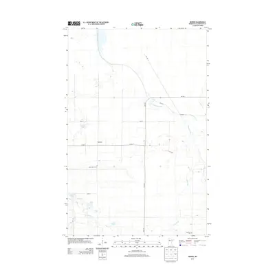
2013 Map of Berner
USGS Topo · Published 2013About this map
Berner serves as the central point of this Northern Minnesota landscape, where the agricultural grid meets a complex network of waterways. The terrain is defined by the winding course of the Clearwater River and its tributaries, including the curiously named Butcher Knife Cr and Ruffy Brook. This 2013 survey illustrates how modern county roads like Co Hwy-7 and tribal routes such as Res Hwy 38 segment the land around numerous glacial water bodies.
Find a feature on this map
23 named features on this map. Tap any name to fly to it.
Don’t see what you’re looking for? This feature index may not catch every label — zoom into the map to look around manually.
Map Details
Editions of this 2013 Berner Map
This is the sole edition of this map. No revisions or reprints were ever made.
Other maps of this area

1919 · Fosston
USGS Topo · 1:62,500

1919 · Churnes
USGS Topo · 1:62,500

1919 · Winsor
USGS Topo · 1:62,500

1943 · Bagley
USGS Topo · 1:62,500

1954 · Bemidji
USGS Topo · 1:250,000

1957 · Bemidji
USGS Topo · 1:250,000

1958 · Bemidji
USGS Topo · 1:250,000

1969 · Clearbrook
USGS Topo · 1:24,000

1969 · Leonard
USGS Topo · 1:24,000

1969 · Gonvick
USGS Topo · 1:24,000