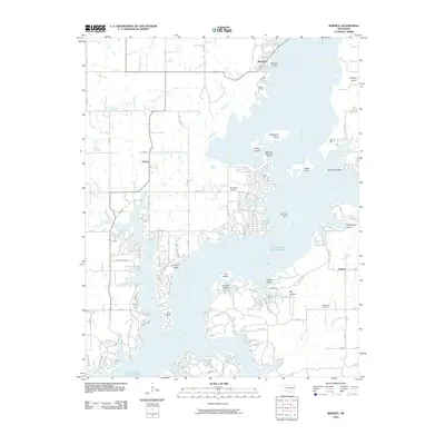
2010 Map of Bernice
USGS Topo · Published 2010About this map
The sprawling shoreline of Grand Lake O' The Cherokees dominates this 2010 landscape, where the Neosho River provides a complex network of coves and inlets. The settlement of Bernice and nearby Bernice Point sit at the northern reaches of the lake, while the community of Cleora lies further west. This era shows a mix of residential development and recreation-focused infrastructure, notably the Cherokee Seaplane Base near Rabbit Island and the Lyon Airport situated along the western banks.
Find a feature on this map
58 named features on this map. Tap any name to fly to it.
Don’t see what you’re looking for? This feature index may not catch every label — zoom into the map to look around manually.
Map Details
Editions of this 2010 Bernice Map
This is the sole edition of this map. No revisions or reprints were ever made.
Other maps of this area

1896 · Pryor
USGS Topo · 1:125,000

1899 · Siloam Springs
USGS Topo · 1:125,000

1901 · Vinita
USGS Topo · 1:125,000

1901 · Pryor
USGS Topo · 1:125,000

1903 · Siloam Springs
USGS Topo · 1:125,000

1904 · Siloam Springs
USGS Topo · 1:125,000

1907 · Wyandotte
USGS Topo · 1:125,000

1909 · Wyandotte
USGS Topo · 1:125,000

1913 · Vinita
USGS Topo · 1:125,000

1954 · Tulsa
USGS Topo · 1:250,000