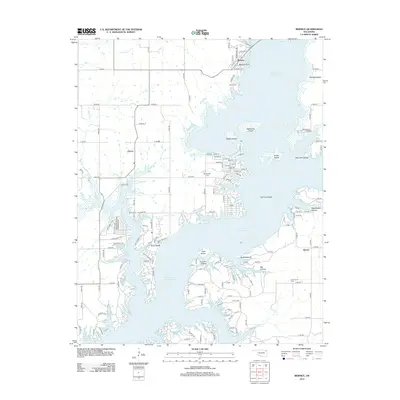
2012 Map of Bernice
USGS Topo · Published 2012About this map
Grand Lake O' the Cherokees dominates this landscape, its intricate shoreline defining the character of Delaware County. The town of Bernice sits at the northern neck of the water, situated near Bernice Point and the prominent Monkey Island. This 2012 survey shows a region deeply shaped by its relationship with the lake, where numerous coves and peninsulas harbor local landmarks like Rabbit Island, Snake Island, and Two Tree Island.
Find a feature on this map
139 named features on this map. Tap any name to fly to it.
Don’t see what you’re looking for? This feature index may not catch every label — zoom into the map to look around manually.
Map Details
Editions of this 2012 Bernice Map
This is the sole edition of this map. No revisions or reprints were ever made.
Other maps of this area

1896 · Pryor
USGS Topo · 1:125,000

1899 · Siloam Springs
USGS Topo · 1:125,000

1901 · Vinita
USGS Topo · 1:125,000

1901 · Pryor
USGS Topo · 1:125,000

1903 · Siloam Springs
USGS Topo · 1:125,000

1904 · Siloam Springs
USGS Topo · 1:125,000

1907 · Wyandotte
USGS Topo · 1:125,000

1909 · Wyandotte
USGS Topo · 1:125,000

1913 · Vinita
USGS Topo · 1:125,000

1954 · Tulsa
USGS Topo · 1:250,000