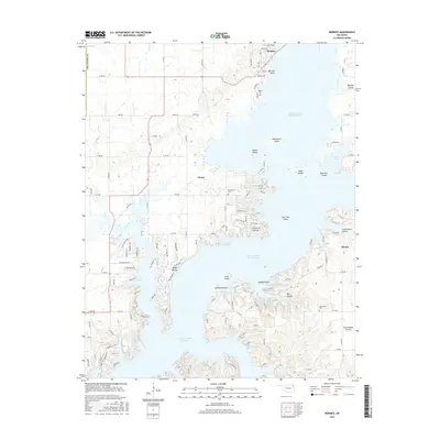
2016 Map of Bernice
USGS Topo · Published 2016About this map
Grand Lake O' the Cherokees dominates this landscape, its intricate shoreline carving out numerous points and islands that define the local geography. The town of Bernice sits at the northern edge near Bernice Point, while the community of Cleora occupies the central interior. This 2016 survey illustrates the modern road network and residential developments that have grown around the lake's fingers, including names like Monkey Island and Rabbit Island. Family and local history is anchored by the presence of Wallen Cem, McLaughlin Cem, and Hiderbrand Cem, which provide fixed points of reference amidst the changing topography. In the southeastern reaches, the terrain transitions toward Sweetwater Prairie and Sweetwater Hollow near Dennis, showing the contrast between the developed lakefront and the surrounding rural uplands.
Find a feature on this map
122 named features on this map. Tap any name to fly to it.
Don’t see what you’re looking for? This feature index may not catch every label — zoom into the map to look around manually.
Map Details
Editions of this 2016 Bernice Map
This is the sole edition of this map. No revisions or reprints were ever made.
Other maps of this area

1896 · Pryor
USGS Topo · 1:125,000

1899 · Siloam Springs
USGS Topo · 1:125,000

1901 · Vinita
USGS Topo · 1:125,000

1901 · Pryor
USGS Topo · 1:125,000

1903 · Siloam Springs
USGS Topo · 1:125,000

1904 · Siloam Springs
USGS Topo · 1:125,000

1907 · Wyandotte
USGS Topo · 1:125,000

1909 · Wyandotte
USGS Topo · 1:125,000

1913 · Vinita
USGS Topo · 1:125,000

1954 · Tulsa
USGS Topo · 1:250,000