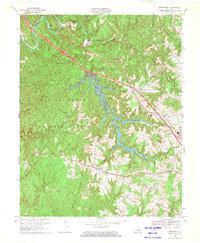
1969 Map of Bernstadt
USGS Topo · Published 1971About this map
The rugged topography of the Daniel Boone National Forest dominates this 1969 survey, where deep drainage networks feed into the central expanse of Wood Creek Lake. Significant rural infrastructure is concentrated along the southern ridge, particularly within the settlement of Bernstadt, which serves as a local hub for the surrounding countryside. This community is anchored by civic markers such as the Colony Sch and Upper Colony Ch, reflecting a long-established pattern of ridge-top habitation above the steep hollows of Gittis Branch and Wood Creek.
Find a feature on this map
41 named features on this map. Tap any name to fly to it.
Don’t see what you’re looking for? This feature index may not catch every label — zoom into the map to look around manually.
Map Details
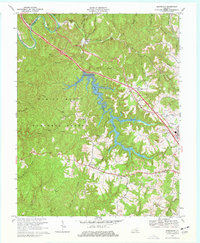
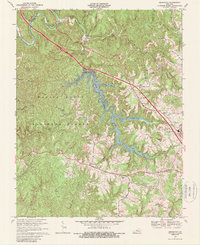
Editions of this 1969 Bernstadt Map
3 editions found
Other maps of this area

1893 · London
USGS Topo · 1:125,000

1897 · London
USGS Topo · 1:125,000

1952 · Lily
USGS Topo · 1:24,000

1952 · London SW
USGS Topo · 1:24,000

1952 · Billows
USGS Topo · 1:24,000

1952 · Ano
USGS Topo · 1:24,000

1952 · Bernstadt
USGS Topo · 1:24,000

1952 · London
USGS Topo · 1:24,000

1953 · Livingston
USGS Topo · 1:24,000

1953 · Mount Vernon
USGS Topo · 1:24,000