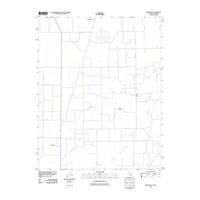
2010 Map of Bernstein
USGS Topo · Published 2010About this map
Bernstein and Hitchland anchor this high plains landscape along the Texas-Oklahoma border. The terrain is defined by the winding course of Hackberry Creek, which cuts through the agricultural grid. This 2010 edition illustrates a water-managed environment where small impoundments like Collier Lake and structures such as Collier Lake Dam and Venneman Lake Dam provide critical resources for the surrounding farms. The area is intersected by a network of county roads including Co RD 15 and Co RD 8, alongside the primary north-south artery of Farm Rd 1261. This map reflects the enduring rural character of Hansford County, documenting the specific locations of homesteads and the persistent drainage patterns of the southern plains just after the turn of the 21st century.
Find a feature on this map
18 named features on this map. Tap any name to fly to it.
Don’t see what you’re looking for? This feature index may not catch every label — zoom into the map to look around manually.
Map Details
Editions of this 2010 Bernstein Map
This is the sole edition of this map. No revisions or reprints were ever made.
Other maps of this area

1954 · Perryton
USGS Topo · 1:250,000

1958 · Perryton
USGS Topo · 1:250,000

1962 · Kimball
USGS Topo · 1:24,000

1962 · Hansford Camp
USGS Topo · 1:24,000

1962 · Waka SW
USGS Topo · 1:24,000

1968 · Hardesty
USGS Topo · 1:24,000

1968 · Guymon SW
USGS Topo · 1:24,000

1968 · Guymon SE
USGS Topo · 1:24,000

1973 · Gruver
USGS Topo · 1:24,000

1974 · Bernstein
USGS Topo · 1:24,000