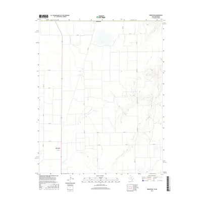
2016 Map of Bernstein
USGS Topo · Published 2016About this map
Hitchland and Bernstein anchor this high plains landscape along the Texas-Oklahoma border. The terrain is defined by a sparse but essential network of water and road systems, including the winding course of Hackberry Cr and localized basins like Collier Lake and Venneman Lake. This 2016 survey illustrates the organized agricultural layout of Hansford County, where a rigid grid of county roads, such as Co RD G and Co RD H, facilitates movement across the expansive acreage. The presence of Farm Rd 1261 serves as a primary north-south artery, connecting these small settlements to the broader regional infrastructure. The map provides a clear view of the intersection between traditional rural homesteading patterns and the modern management of water resources in a semi-arid environment.
Find a feature on this map
17 named features on this map. Tap any name to fly to it.
Don’t see what you’re looking for? This feature index may not catch every label — zoom into the map to look around manually.
Map Details
Editions of this 2016 Bernstein Map
This is the sole edition of this map. No revisions or reprints were ever made.
Other maps of this area

1954 · Perryton
USGS Topo · 1:250,000

1958 · Perryton
USGS Topo · 1:250,000

1962 · Kimball
USGS Topo · 1:24,000

1962 · Hansford Camp
USGS Topo · 1:24,000

1962 · Waka SW
USGS Topo · 1:24,000

1968 · Hardesty
USGS Topo · 1:24,000

1968 · Guymon SW
USGS Topo · 1:24,000

1968 · Guymon SE
USGS Topo · 1:24,000

1973 · Gruver
USGS Topo · 1:24,000

1974 · Bernstein
USGS Topo · 1:24,000