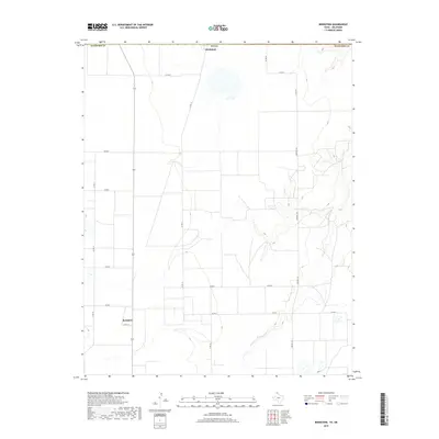
2019 Map of Bernstein
USGS Topo · Published 2019About this map
Bernstein and Hitchland anchor this high plains landscape in the northern Panhandle, situated along the border of Hansford County. The area is defined by a grid of agricultural section lines and county roads, reflecting the systematic land division of the Texas Panhandle. Water is a scarce but vital element here, represented by the ephemeral Hackberry Creek as it carves a subtle drainage across the eastern half of the map toward Collier Lake. Transport in this sparsely populated region relies on north-south thoroughfares like Farm Road 1261 and a network of named routes including County Road 17 and County Road 18.
Find a feature on this map
18 named features on this map. Tap any name to fly to it.
Don’t see what you’re looking for? This feature index may not catch every label — zoom into the map to look around manually.
Map Details
Editions of this 2019 Bernstein Map
This is the sole edition of this map. No revisions or reprints were ever made.
Other maps of this area

1954 · Perryton
USGS Topo · 1:250,000

1958 · Perryton
USGS Topo · 1:250,000

1962 · Kimball
USGS Topo · 1:24,000

1962 · Hansford Camp
USGS Topo · 1:24,000

1962 · Waka SW
USGS Topo · 1:24,000

1968 · Hardesty
USGS Topo · 1:24,000

1968 · Guymon SW
USGS Topo · 1:24,000

1968 · Guymon SE
USGS Topo · 1:24,000

1973 · Gruver
USGS Topo · 1:24,000

1974 · Bernstein
USGS Topo · 1:24,000