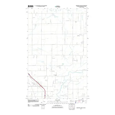
2011 Map of Bertrand Creek
USGS Topo · Published 2011About this map
Bertrand Creek and its many tributaries define this border-country landscape just south of the Canadian line. The map captures a primarily agricultural region near the rural settlement of Delta, where a dense grid of farm-to-market roads like H Street Rd and W Badger Rd connects scattered farmsteads. The southern portion of the quadrangle is dominated by the meandering course of the Nooksack River, which creates a complex hydrology of sloughs and oxbow lakes, including Keefe Lake.
Find a feature on this map
83 named features on this map. Tap any name to fly to it.
Don’t see what you’re looking for? This feature index may not catch every label — zoom into the map to look around manually.
Map Details
Editions of this 2011 Bertrand Creek Map
This is the sole edition of this map. No revisions or reprints were ever made.
Other maps of this area

1906 · Sumas
USGS Topo · 1:62,500

1907 · Blaine
USGS Topo · 1:62,500

1908 · Sumas
USGS Topo · 1:62,500

1952 · Bertrand Creek
USGS Topo · 1:24,000

1952 · Lynden
USGS Topo · 1:24,000

1952 · Ferndale
USGS Topo · 1:24,000

1952 · Lummi Bay
USGS Topo · 1:24,000

1952 · Blaine
USGS Topo · 1:24,000

1952 · Blaine
USGS Topo · 1:62,500

1954 · Bellingham North
USGS Topo · 1:24,000