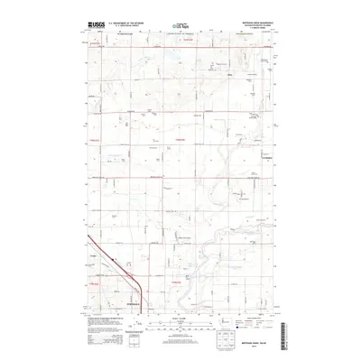
2014 Map of Bertrand Creek
USGS Topo · Published 2014About this map
The Nooksack River and Bertrand Cr define this Whatcom County landscape, which sits just south of the Canadian border near Lynden and Ferndale. The region is defined by a dense concentration of family dairies and specialized agricultural operations, including Fresh Breeze Organic Dairy, Golden Hills Dairy, and Clark's Berry Farm. This network of farms is serviced by a grid of rural roads like Birch Bay Lynden Rd and H Street Rd, which runs along the international boundary. Aviation is integrated into this rural setting via the Meadow Mist Airport and Horse Fly Airport. Local history and community spaces are anchored by Enterprise Cem near Custer, and the sprawling Berthusen Park, reflecting a landscape where legacy agriculture remains the primary economic driver.
Find a feature on this map
76 named features on this map. Tap any name to fly to it.
Don’t see what you’re looking for? This feature index may not catch every label — zoom into the map to look around manually.
Map Details
Editions of this 2014 Bertrand Creek Map
This is the sole edition of this map. No revisions or reprints were ever made.
Other maps of this area

1906 · Sumas
USGS Topo · 1:62,500

1907 · Blaine
USGS Topo · 1:62,500

1908 · Sumas
USGS Topo · 1:62,500

1952 · Bertrand Creek
USGS Topo · 1:24,000

1952 · Lynden
USGS Topo · 1:24,000

1952 · Ferndale
USGS Topo · 1:24,000

1952 · Lummi Bay
USGS Topo · 1:24,000

1952 · Blaine
USGS Topo · 1:24,000

1952 · Blaine
USGS Topo · 1:62,500

1954 · Bellingham North
USGS Topo · 1:24,000