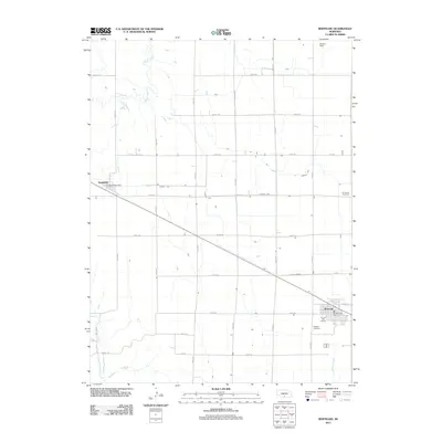
2011 Map of Bertrand
USGS Topo · Published 2011About this map
Bertrand anchors the southeast corner of this central Nebraska agricultural landscape, characterized by the precise grid of county roads and vital water management infrastructure like Lateral E-65. The map documents the layout of the town as it appeared in the early 21st century, including the Bertrand Post Office and the Hi-Line Golf Course on its western edge. Further west, the smaller settlement of Smithfield sits along the rail corridor, served by its own Smithfield Post Office. The terrain is defined by natural drainage systems including Plum Creek to the north and the East Branch Turkey Creek in the southwest. For those researching local family history, several prominent burial sites are clearly marked, such as Highland Cemetery near the main town and the more isolated Immanuel Cemetery to the east.
Find a feature on this map
31 named features on this map. Tap any name to fly to it.
Don’t see what you’re looking for? This feature index may not catch every label — zoom into the map to look around manually.
Map Details
Editions of this 2011 Bertrand Map
This is the sole edition of this map. No revisions or reprints were ever made.
Other maps of this area

1896 · Lexington
USGS Topo · 1:125,000

1896 · Arapahoe
USGS Topo · 1:125,000

1898 · Arapahoe
USGS Topo · 1:125,000

1899 · Lexington
USGS Topo · 1:125,000

1955 · Grand Island
USGS Topo · 1:250,000

1957 · Grand Island
USGS Topo · 1:250,000

1958 · Grand Island
USGS Topo · 1:250,000
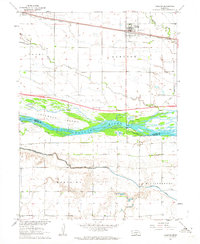
1962 · Overton
USGS Topo · 1:24,000

1962 · Bertrand NW
USGS Topo · 1:24,000
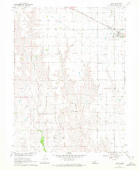
1970 · Loomis
USGS Topo · 1:24,000