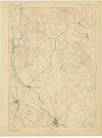
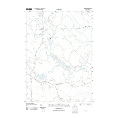
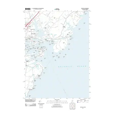
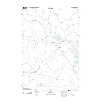
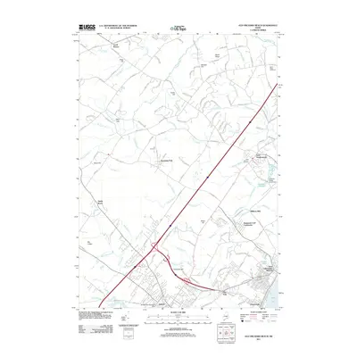
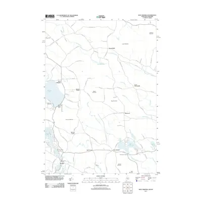
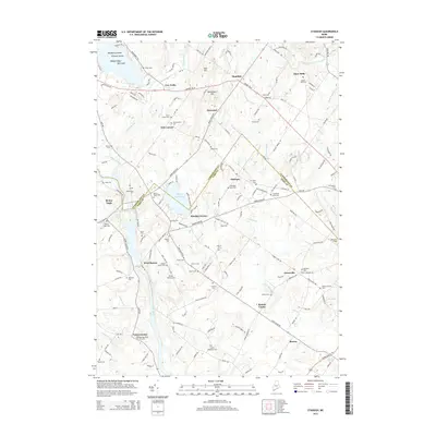
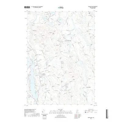
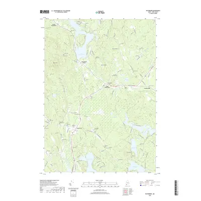
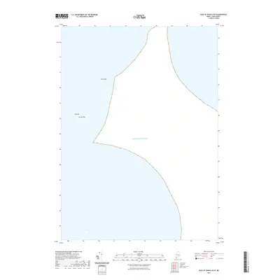
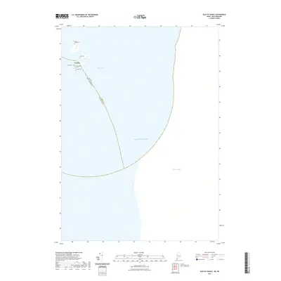
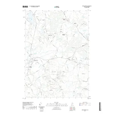
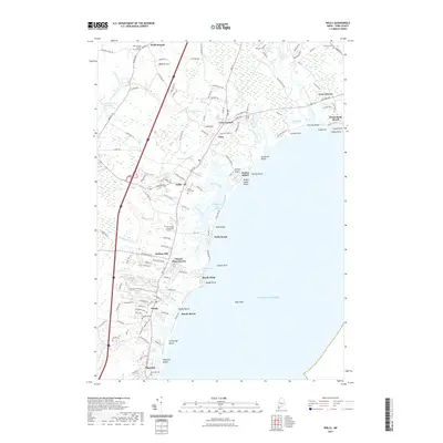
1893 Map of Berwick
USGS Topo · Published 1898About this map
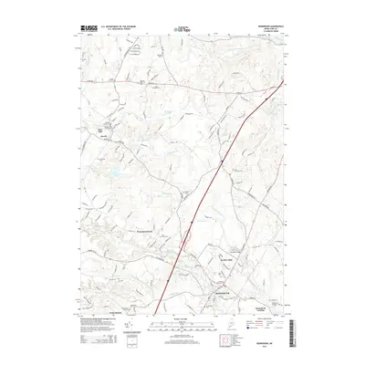
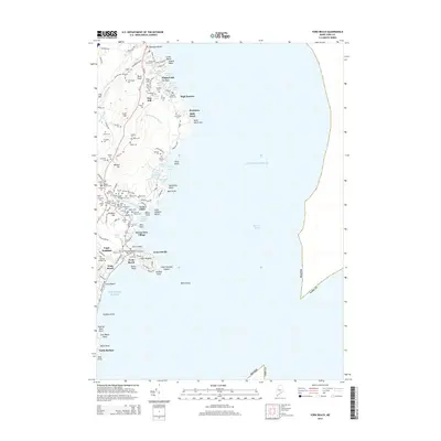
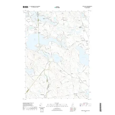
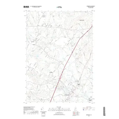
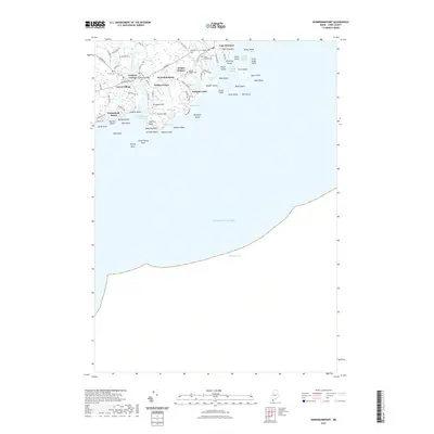
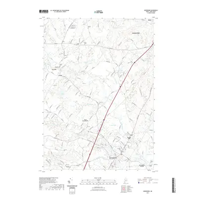
The Maine New Hampshire Boundary Line follows the winding course of the Salmon Falls River, anchoring a region of industrial river towns and sprawling rail networks surveyed in the late 19th century. Significant mill operations are evident at Great Falls and Milton Mills, while the interior of Lebanon and Sanford shows a dispersed pattern of agricultural hamlets. The Portland and Rochester Railroad bisects the landscape diagonally, connecting Springvale to Rochester, intersecting the extensive Boston and Maine Railroad lines that serviced the area's manufacturing hubs. Notable terrain features like Bauneg Beg and Beaver Hill break the undulating landscape, providing landmarks for local residents between the watercourses of the Mousam River and Little River.
Find a feature on this map
46 named features on this map. Tap any name to fly to it.
Don’t see what you’re looking for? This feature index may not catch every label — zoom into the map to look around manually.
Map Details
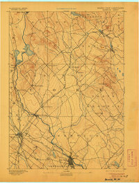
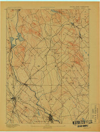
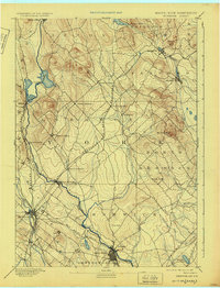
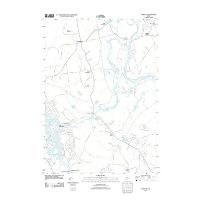
Editions of this 1893 Berwick Map
6 editions found

Historical Maps of Dover Through Time
158 maps found

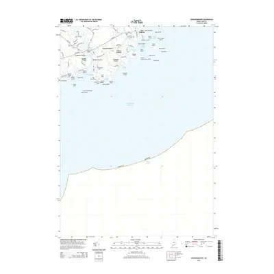
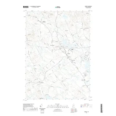
1891 Berwick
York County, ME

1891 Buxton
York County, ME

1891 Kennebunk
York County, ME

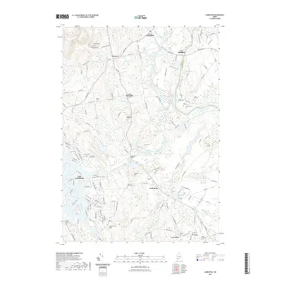
1891 Newfield
York County, ME

1892 Buxton
York County, ME

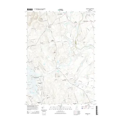
1893 Berwick
York County, ME

1893 Buxton
York County, ME

1893 Kennebunk
York County, ME

1893 Newfield
York County, ME

1893 York
York County, ME

1898 Kennebunk
York County, ME

1920 York
York County, ME

1933 Berwick
York County, ME

1933 Newfield
York County, ME

1937 Berwick
York County, ME

1937 Newfield
York County, ME

1941 Berwick
York County, ME

1941 Kennebunk
York County, ME

1942 Buxton
York County, ME

1942 Newfield
York County, ME

1944 Berwick
York County, ME

1944 Buxton
York County, ME

1944 Kennebunk
York County, ME

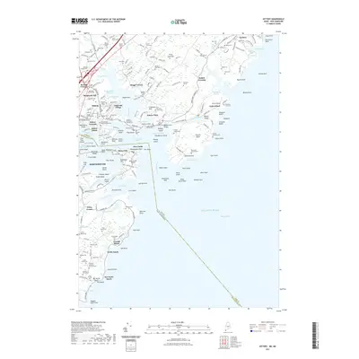
1944 Kittery
York County, ME

1944 Newfield
York County, ME

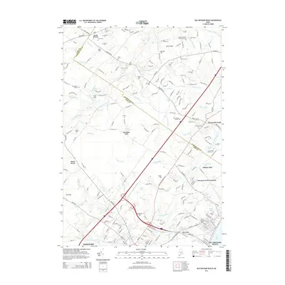
1944 Old Orchard Beach
York County, ME

1944 Wells
York County, ME

1944 York Beach
York County, ME

1949 Biddeford Pool
York County, ME

1949 Wells
York County, ME

1956 Biddeford Pool
York County, ME

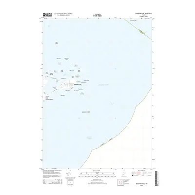
1956 Isles of Shoals
York County, ME

1956 Isles Of Shoals
York County, ME

1956 Kennebunkport
York County, ME

1956 Kennebunk
York County, ME

1956 Kittery
York County, ME

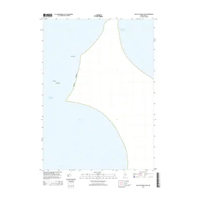
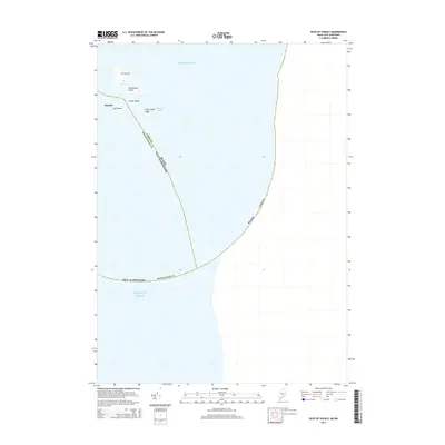
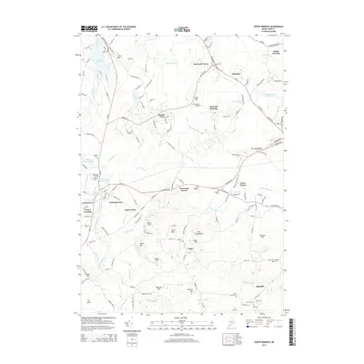
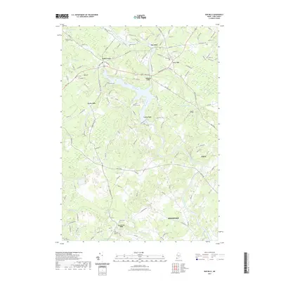
1956 North Berwick
York County, ME

1956 Old Orchard Beach
York County, ME

1956 Wells
York County, ME

1956 York Beach
York County, ME

1956 York
York County, ME

1958 Berwick
York County, ME

1958 Newfield
York County, ME

1975 Biddeford Pool
York County, ME

1975 Kennebunkport
York County, ME

1975 Old Orchard Beach
York County, ME

1977 Kittery
York County, ME

1977 North Berwick
York County, ME

1977 Wells
York County, ME

1977 York Beach
York County, ME

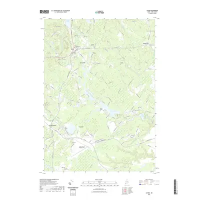
1983 Alfred
York County, ME

1983 Bar Mills
York County, ME

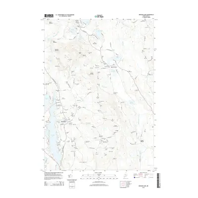
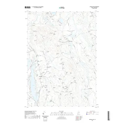
1983 Great East Lake
York County, ME

1983 Kennebunk
York County, ME

1983 Limerick
York County, ME

1983 Limington
York County, ME

1983 Mousam Lake
York County, ME

1983 Standish
York County, ME

1983 Waterboro
York County, ME

1983 West Newfield
York County, ME

1985 Kittery
York County, ME

1995 Great East Lake
York County, ME

1995 Kittery
York County, ME

1998 York Beach
York County, ME
2011 Alfred
York County, ME
2011 Bar Mills
York County, ME
2011 Biddeford Pool
York County, ME
2011 Great East Lake
York County, ME
2011 Isles of Shoals
York County, ME
2011 Kennebunkport
York County, ME
2011 Kennebunk
York County, ME
2011 Kittery
York County, ME
2011 Limerick
York County, ME
2011 Limington
York County, ME
2011 Mousam Lake
York County, ME
2011 North Berwick
York County, ME
2011 Old Orchard Beach
York County, ME
2011 Standish
York County, ME
2011 Waterboro
York County, ME
2011 Wells
York County, ME
2011 West Newfield
York County, ME
2011 York Beach
York County, ME
2014 Alfred
York County, ME
2014 Bar Mills
York County, ME
2014 Biddeford Pool
York County, ME
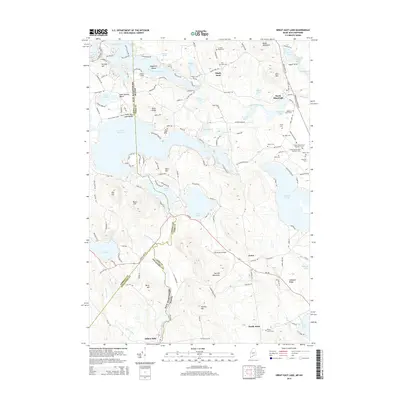
2014 Great East Lake
York County, ME
2014 Isles of Shoals OE N
York County, ME
2014 Isles of Shoals
York County, ME
2014 Kennebunkport
York County, ME
2014 Kennebunk
York County, ME
2014 Kittery
York County, ME
2014 Limerick
York County, ME
2014 Limington
York County, ME
2014 Mousam Lake
York County, ME
2014 North Berwick
York County, ME
2014 Old Orchard Beach
York County, ME
2014 Standish
York County, ME
2014 Waterboro
York County, ME
2014 Wells
York County, ME
2014 West Newfield
York County, ME
2014 York Beach
York County, ME
2018 Alfred
York County, ME
2018 Bar Mills
York County, ME
2018 Biddeford Pool
York County, ME
2018 Great East Lake
York County, ME
2018 Isles of Shoals OE N
York County, ME
2018 Isles of Shoals
York County, ME
2018 Kennebunkport
York County, ME
2018 Kennebunk
York County, ME
2018 Kittery
York County, ME
2018 Limerick
York County, ME
2018 Limington
York County, ME
2018 Mousam Lake
York County, ME
2018 North Berwick
York County, ME
2018 Old Orchard Beach
York County, ME
2018 Standish
York County, ME
2018 Waterboro
York County, ME
2018 Wells
York County, ME
2018 West Newfield
York County, ME
2018 York Beach
York County, ME
2021 Alfred
York County, ME
2021 Bar Mills
York County, ME
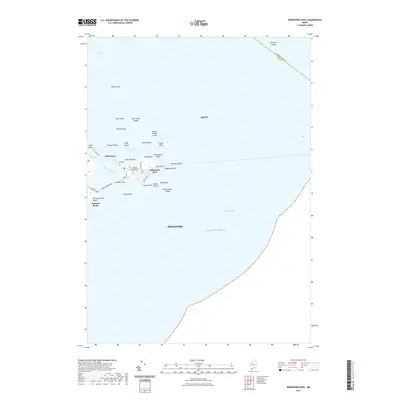
2021 Biddeford Pool
York County, ME
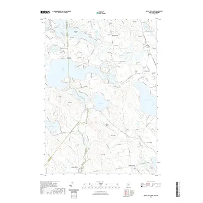
2021 Great East Lake
York County, ME
2021 Isles of Shoals OE N
York County, ME
2021 Isles of Shoals
York County, ME
2021 Kennebunkport
York County, ME
2021 Kennebunk
York County, ME
2021 Kittery
York County, ME
2021 Limerick
York County, ME
2021 Limington
York County, ME
2021 Mousam Lake
York County, ME
2021 North Berwick
York County, ME
2021 Old Orchard Beach
York County, ME
2021 Standish
York County, ME
2021 Waterboro
York County, ME
2021 Wells
York County, ME
2021 West Newfield
York County, ME
2021 York Beach
York County, ME

2024 Alfred
York County, ME

2024 Bar Mills
York County, ME

2024 Biddeford Pool
York County, ME

2024 Great East Lake
York County, ME

2024 Isles of Shoals OE N
York County, ME

2024 Isles of Shoals
York County, ME

2024 Kennebunkport
York County, ME

2024 Kennebunk
York County, ME

2024 Kittery
York County, ME

2024 Limerick
York County, ME

2024 Limington
York County, ME

2024 Mousam Lake
York County, ME

2024 North Berwick
York County, ME

2024 Old Orchard Beach
York County, ME

2024 Standish
York County, ME

2024 Waterboro
York County, ME

2024 Wells
York County, ME

2024 West Newfield
York County, ME

2024 York Beach
York County, ME