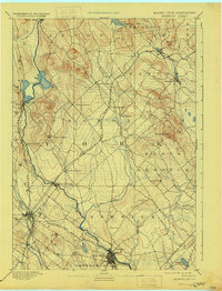
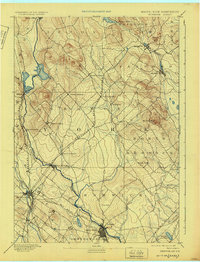
1893 Map of Berwick
USGS Topo · Published 1933About this map
The Salmon Falls River serves as the winding centerpiece for this 1893 survey, carving the Maine New Hampshire Boundary Line through a landscape of emerging mill towns and dense rail networks. This era captures the industrial vitality of Rochester and Sanford, where the Mousam River powered local commerce. The geography is defined by a series of distinct villages across Lebanon, including North Lebanon and West Lebanon, which were once integral stops for rural travelers before modern highway consolidation.
Find a feature on this map
42 named features on this map. Tap any name to fly to it.
Don’t see what you’re looking for? This feature index may not catch every label — zoom into the map to look around manually.
Map Details
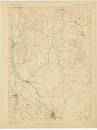
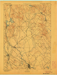
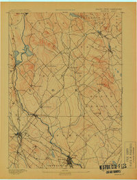
Editions of this 1893 Berwick Map
6 editions found
Other maps of this area

1891 · Berwick
USGS Topo · 1:62,500

1891 · Kennebunk
USGS Topo · 1:62,500

1891 · Buxton
USGS Topo · 1:62,500

1891 · Newfield
USGS Topo · 1:62,500

1892 · Buxton
USGS Topo · 1:62,500

1893 · Kennebunk
USGS Topo · 1:62,500

1893 · Dover
USGS Topo · 1:62,500

1893 · Berwick
USGS Topo · 1:62,500

1893 · York
USGS Topo · 1:62,500

1893 · Buxton
USGS Topo · 1:62,500